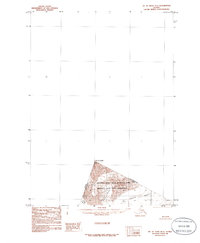
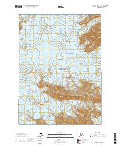
1985 Map of Mount Saint Elias B-7
USGS Topo · Published 1985About this map
Mount Augusta stands as a primary landmark along the international boundary in this high-altitude survey of the Saint Elias Mountains. This provisional map captures a frozen landscape within the Wrangell-Saint Elias National Park, established just a few years prior by the Alaska National Interest Lands Conservation Act. The jagged terrain is defined by massive ice flows, including the Augusta Glacier and Cascade Glacier, which drain the steep slopes near the border between Alaska and the Yukon Territory. Because the area is so remote and topographically complex, the map was produced from aerial photography taken in the early 1960s rather than direct field checking, providing a specialized look at the ice and rock formations that straddle the United States and Canada border.
Find a feature on this map
6 named features on this map. Tap any name to fly to it.
Don’t see what you’re looking for? This feature index may not catch every label — zoom into the map to look around manually.
Map Details
Editions of this 1985 Mount Saint Elias B-7 Map
This is the sole edition of this map. No revisions or reprints were ever made.
Other maps of this area

1951 · Mt Saint Elias
USGS Topo · 1:250,000

1959 · Mt Saint Elias
USGS Topo · 1:250,000
1985 · Mount Saint Elias A-7
USGS Topo · 1:63,360
1985 · Mount Saint Elias A-8
USGS Topo · 1:63,360
1985 · Mount Saint Elias A-6
USGS Topo · 1:63,360
1985 · Mount Saint Elias B-8
USGS Topo · 1:63,360
2017 · Mount Saint Elias B-7 SW
USGS Topo · 1:25,000
2017 · Mount Saint Elias A-8 NE
USGS Topo · 1:25,000
2017 · Mount Saint Elias B-7 SE
USGS Topo · 1:25,000
2017 · Mount Saint Elias A-7 NE
USGS Topo · 1:25,000