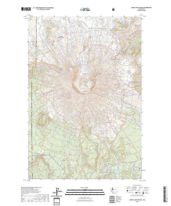
2023 Map of Mount Saint Helens
USGS Topo · Published 2023About this map
1980 Crater dominates the landscape of the Mount Saint Helens National Volcanic Monument, a terrain defined by dramatic geomorphic shifts. The map illustrates the central Lava Dome and the massive opening known as The Breach, which looks toward the north and the altered basin of Spirit Lake. This modern survey details the intricate network of glacial remnants, including Ape Glacier and Shoestring Glacier, alongside newer volcanic features like the Floating Island Lava Flow and the expansive Worm Flows.
Find a feature on this map
66 named features on this map. Tap any name to fly to it.
Don’t see what you’re looking for? This feature index may not catch every label — zoom into the map to look around manually.
Map Details
Editions of this 2023 Mount Saint Helens Map
This is the sole edition of this map. No revisions or reprints were ever made.
Other maps of this area

1919 · Mount St Helens
USGS Topo · 1:125,000

1953 · Hoquiam
USGS Topo · 1:250,000

1953 · Cougar
USGS Topo · 1:62,500

1953 · Elk Rock
USGS Topo · 1:62,500

1957 · Hoquiam
USGS Topo · 1:250,000

1957 · Spirit Lake
USGS Topo · 1:62,500

1958 · Mt St. Helens
USGS Topo · 1:62,500

1958 · Hoquiam
USGS Topo · 1:250,000

1962 · Hoquiam
USGS Topo · 1:250,000

1975 · Mt. St. Helens NE
USGS Topo · 1:24,000