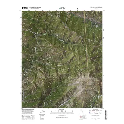
2015 Map of Mount San Antonio
USGS Topo · Published 2015About this map
Mount San Antonio anchors this high-elevation survey of the Transverse Ranges, marking the boundary between the Angeles National Forest and the San Bernardino National Forest. The dramatic topography is bisected by the San Andreas Fault in the northeast, running through the Swarthout Valley and the settlement of Wrightwood. Historical resource extraction is evidenced by Mine Gulch and Vincent Gulch along the headwaters of the San Gabriel River. The map serves as a detailed record of alpine recreation and transit, tracing the Pacific Crest National Scenic Trail as it winds past Inspiration Point and Blue Ridge. From the high peaks of Mount Harwood to the secluded Cabin Flat, the map documents the network of gulches, canyons, and flats that define this part of the San Gabriel Mountains.
Find a feature on this map
64 named features on this map. Tap any name to fly to it.
Don’t see what you’re looking for? This feature index may not catch every label — zoom into the map to look around manually.
Map Details
Editions of this 2015 Mount San Antonio Map
This is the sole edition of this map. No revisions or reprints were ever made.
Other maps of this area
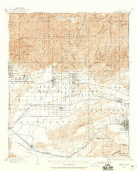
1894 · Pomona
USGS Topo · 1:62,500
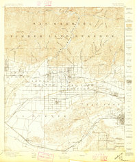
1897 · Pomona
USGS Topo · 1:62,500
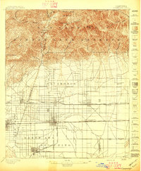
1897 · Cucamonga
USGS Topo · 1:62,500
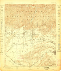
1898 · Pomona
USGS Topo · 1:62,500
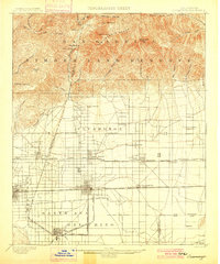
1900 · Cucamonga
USGS Topo · 1:62,500

1901 · Southern California Sheet No. 1
USGS Topo · 1:250,000
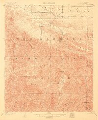
1903 · Rock Creek
USGS Topo · 1:62,500
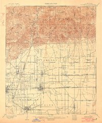
1903 · Cucamonga
USGS Topo · 1:62,500
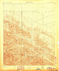
1903 · San Antonio
USGS Topo · 1:62,500
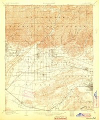
1904 · Pomona
USGS Topo · 1:62,500