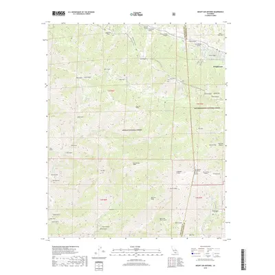
2018 Map of Mount San Antonio
USGS Topo · Published 2018About this map
Mt San Antonio and the high peaks of the San Gabriel Mountains dominate this high-altitude landscape where the Angeles National Forest meets the San Bernardino National Forest. The community of Wrightwood is situated near the San Andreas Fault, which cuts through the northeastern corner of the map. High ridges such as Blue Ridge and Pine Mtn Ridge are traversed by the Pacific Crest National Scenic Trail, providing access to remote locations like Cabin Flat and Inspiration Point. Drainage patterns are defined by steep canyons including Mine Gulch and Vincent Gulch feeding into the San Gabriel River. Smaller enclaves like Manker Flat and Airplane Flat serve as localized landmarks within this heavily vertical terrain, which includes notable summits like Mt Harwood and Dawson Peak.
Find a feature on this map
67 named features on this map. Tap any name to fly to it.
Don’t see what you’re looking for? This feature index may not catch every label — zoom into the map to look around manually.
Map Details
Editions of this 2018 Mount San Antonio Map
This is the sole edition of this map. No revisions or reprints were ever made.
Other maps of this area
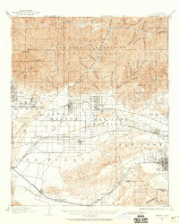
1894 · Pomona
USGS Topo · 1:62,500
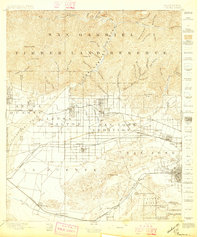
1897 · Pomona
USGS Topo · 1:62,500
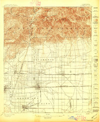
1897 · Cucamonga
USGS Topo · 1:62,500
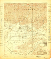
1898 · Pomona
USGS Topo · 1:62,500
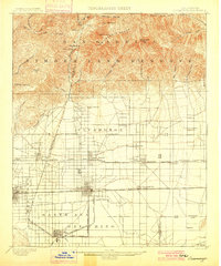
1900 · Cucamonga
USGS Topo · 1:62,500

1901 · Southern California Sheet No. 1
USGS Topo · 1:250,000
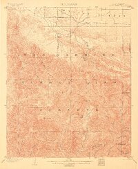
1903 · Rock Creek
USGS Topo · 1:62,500
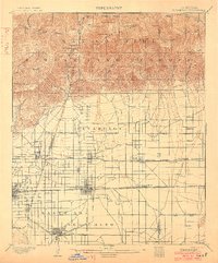
1903 · Cucamonga
USGS Topo · 1:62,500
1903 · San Antonio
USGS Topo · 1:62,500
1904 · Pomona
USGS Topo · 1:62,500