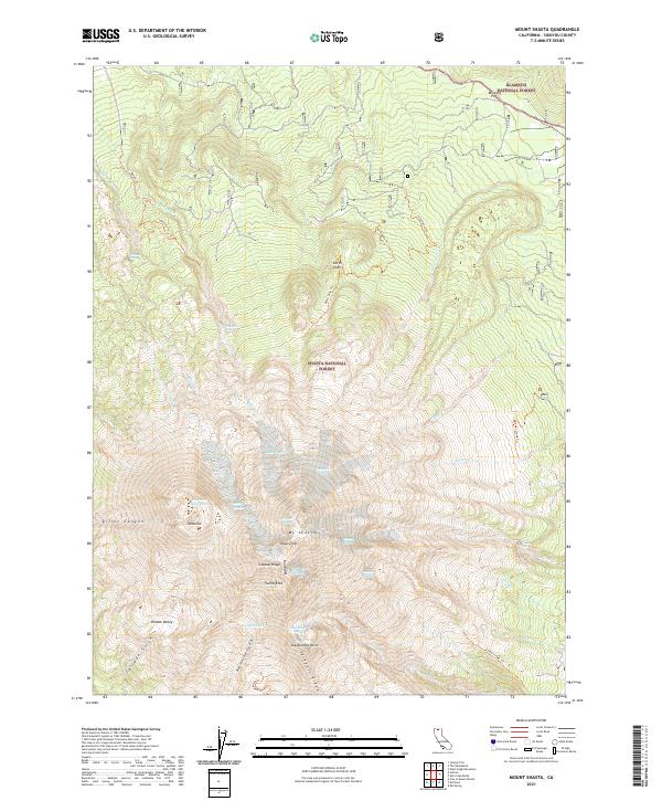
2021 Map of Mount Shasta
USGS Topo · Published 2021About this map
Mt Shasta and its satellite peak Shastina dominate this 2021 topographic survey, revealing the intricate glacial systems of the high Cascades. The map details the expansive ice fields of the Whitney Glacier, Hotlum Glacier, and Bolam Glacier, which define the northern and eastern flanks of the volcanic massif. Lower elevations within the Shasta National Forest show a landscape shaped by water and gravity, from the steep walls of Diller Canyon to the thermal activity at Sulphur Springs. Historical transit corridors are marked by Military Pass in the northeast, while high-altitude basins like Hidden Valley and water bodies such as Clarence King Lake illustrate the alpine hydrology of the region. The survey provides precise contouring for mountaineering landmarks including Casaval Ridge, Red Banks, and Thumb Rock.
Find a feature on this map
51 named features on this map. Tap any name to fly to it.
Don’t see what you’re looking for? This feature index may not catch every label — zoom into the map to look around manually.
Map Details
Editions of this 2021 Mount Shasta Map
This is the sole edition of this map. No revisions or reprints were ever made.
Other maps of this area

1886 · Shasta
USGS Topo · 1:250,000

1894 · Shasta
USGS Topo · 1:250,000

1934 · Macdoel
USGS Topo · 1:96,000

1935 · Dunsmuir
USGS Topo · 1:125,000

1941 · Macdoel
USGS Topo · 1:125,000

1948 · Weed
USGS Topo · 1:250,000

1950 · Weed
USGS Topo · 1:250,000

1954 · The Whaleback
USGS Topo · 1:62,500

1954 · Shasta
USGS Topo · 1:62,500

1954 · Weed
USGS Topo · 1:62,500