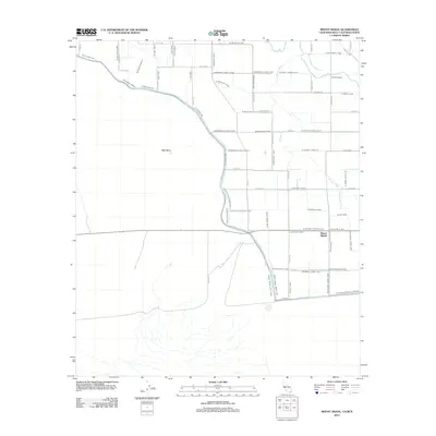
2012 Map of Mount Signal
USGS Topo · Published 2012About this map
Mount Signal and the surrounding borderlands of the Imperial Valley are defined by a complex network of irrigation and drainage infrastructure designed to manage the arid landscape. The New River meanders across the northern portion of the map near Wulfs Crossing, while the southern reaches are dominated by engineered waterways like the Worm Wood Canal and Woodbine Canal. To the west, the landscape transitions into the open expanse of West Mesa, away from the grid-patterned agricultural fields. This system of laterals and drains, including Wistara Canal and Fern Side Main, illustrates the intensive hydrological engineering required to sustain cultivation along the California-Mexico border. The alignment of roads such as Westside Rd and Signal Rd follows these water features, anchoring the rural settlement pattern to the valley's artificial water supply.
Find a feature on this map
73 named features on this map. Tap any name to fly to it.
Don’t see what you’re looking for? This feature index may not catch every label — zoom into the map to look around manually.
Map Details
Editions of this 2012 Mount Signal Map
This is the sole edition of this map. No revisions or reprints were ever made.
Other maps of this area

1915 · El Centro
USGS Topo · 1:125,000

1940 · Brawley
USGS Topo · 1:62,500

1940 · Heber
USGS Topo · 1:62,500

1940 · Plaster City
USGS Topo · 1:62,500

1940 · Coyote Wells
USGS Topo · 1:62,500

1942 · El Centro
USGS Topo · 1:250,000

1943 · Coyote Wells
USGS Topo · 1:62,500

1943 · Heber
USGS Topo · 1:62,500

1943 · Brawley
USGS Topo · 1:62,500

1944 · Plaster City
USGS Topo · 1:62,500