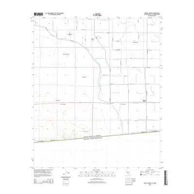
2015 Map of Mount Signal
USGS Topo · Published 2015About this map
The international boundary between the United States of America and Estados Unidos Mexicanos anchors the southern edge of this desert landscape. At its center, Mount Signal rises as a prominent landmark above the surrounding Yuha Desert and West Mesa. The map reveals a complex infrastructure of water management essential for the arid environment of the Imperial Valley, including the massive All-American Canal and the Westside Main Canal.
Find a feature on this map
78 named features on this map. Tap any name to fly to it.
Don’t see what you’re looking for? This feature index may not catch every label — zoom into the map to look around manually.
Map Details
Editions of this 2015 Mount Signal Map
This is the sole edition of this map. No revisions or reprints were ever made.
Other maps of this area
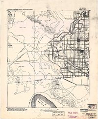
1915 · El Centro
USGS Topo · 1:125,000
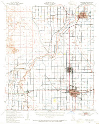
1940 · Brawley
USGS Topo · 1:62,500
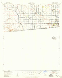
1940 · Heber
USGS Topo · 1:62,500
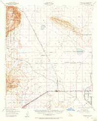
1940 · Plaster City
USGS Topo · 1:62,500
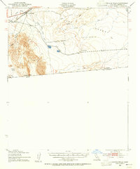
1940 · Coyote Wells
USGS Topo · 1:62,500
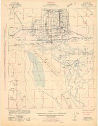
1942 · El Centro
USGS Topo · 1:250,000
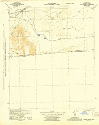
1943 · Coyote Wells
USGS Topo · 1:62,500
1943 · Heber
USGS Topo · 1:62,500
1943 · Brawley
USGS Topo · 1:62,500
1944 · Plaster City
USGS Topo · 1:62,500