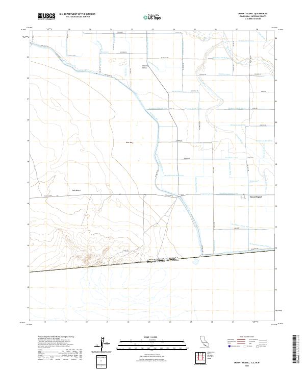
2021 Map of Mount Signal
USGS Topo · Published 2021About this map
The United States of America Estados Unidos Mexicanos border serves as the southern terminus for this 2021 study of the Imperial Valley landscape. This borderland is defined by a complex irrigation network essential to local agriculture, dominated by the massive All-American-Canal and the Westside-Main-Canal. These man-made arteries contrast with the natural drainage of the New River and Greeson Wash, illustrating the massive engineering efforts required to transform the desert for cultivation.
Find a feature on this map
72 named features on this map. Tap any name to fly to it.
Don’t see what you’re looking for? This feature index may not catch every label — zoom into the map to look around manually.
Map Details
Editions of this 2021 Mount Signal Map
This is the sole edition of this map. No revisions or reprints were ever made.
Other maps of this area

1915 · El Centro
USGS Topo · 1:125,000

1940 · Brawley
USGS Topo · 1:62,500

1940 · Heber
USGS Topo · 1:62,500

1940 · Plaster City
USGS Topo · 1:62,500

1940 · Coyote Wells
USGS Topo · 1:62,500

1942 · El Centro
USGS Topo · 1:250,000

1943 · Coyote Wells
USGS Topo · 1:62,500

1943 · Heber
USGS Topo · 1:62,500

1943 · Brawley
USGS Topo · 1:62,500

1944 · Plaster City
USGS Topo · 1:62,500