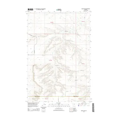
2014 Map of Mount Sinai
USGS Topo · Published 2014About this map
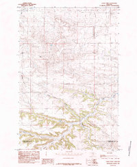
Mt Sinai anchors this high plains terrain where the borders of Golden Valley and Stillwater counties meet. The landscape is defined by a network of drainage features and deep draws, most notably Big Coulee Cr and the prominent Stockade Gulch. These natural corridors dictate the path of local infrastructure, with Big Coulee Rd and Shifley Rd winding through the depressions between the higher ridges. The southern portion of the quadrangle is marked by Cabin Gulch and the headwaters of Cabin Gulch Cr, showing the typical Montana pattern of naming geographic features after early settlers or livestock landmarks. This 2014 survey documents the enduring rural road network, including Custer Gulch Rd and Kunesh Rd, which provide access to the expansive range land characteristic of this region north of the Yellowstone River valley.
Find a feature on this map
22 named features on this map. Tap any name to fly to it.
Don’t see what you’re looking for? This feature index may not catch every label — zoom into the map to look around manually.
Map Details
Editions of this 2014 Mount Sinai Map
This is the sole edition of this map. No revisions or reprints were ever made.
Other maps of this area
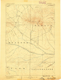
1889 · Big Snowy Mountain
USGS Topo · 1:250,000
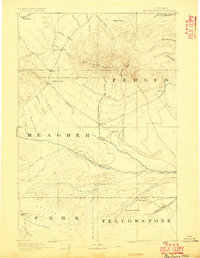
1893 · Big Snowy Mountain
USGS Topo · 1:250,000

1954 · Roundup
USGS Topo · 1:250,000

1958 · Roundup
USGS Topo · 1:250,000
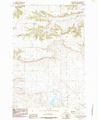
1985 · Hailstone Basin
USGS Topo · 1:24,000
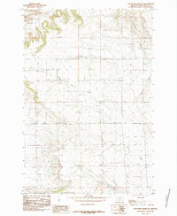
1985 · Hailstone Basin SE
USGS Topo · 1:24,000
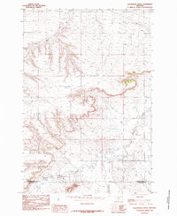
1985 · Locomotive Butte
USGS Topo · 1:24,000
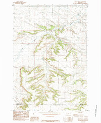
1985 · Mount Sinai
USGS Topo · 1:24,000
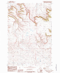
1985 · Locomotive Butte SE
USGS Topo · 1:24,000
1985 · Eagle Point
USGS Topo · 1:24,000