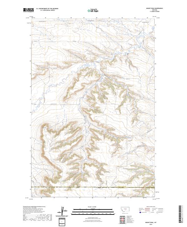
2024 Map of Mount Sinai
USGS Topo · Published 2024About this map
Mt Sinai rises as a prominent landmark in this section of central Montana, overlooking a landscape defined by the deep incisions of Big Coulee Creek and its seasonal tributaries. The drainage patterns of Stockade Gulch and Custer Creek reveal a terrain heavily carved by erosion, where ranch roads like Van Der Voort Rd and Shifley Rd follow the natural contours of the high plains.
Find a feature on this map
21 named features on this map. Tap any name to fly to it.
Don’t see what you’re looking for? This feature index may not catch every label — zoom into the map to look around manually.
Map Details
Editions of this 2024 Mount Sinai Map
This is the sole edition of this map. No revisions or reprints were ever made.
Other maps of this area

1889 · Big Snowy Mountain
USGS Topo · 1:250,000

1893 · Big Snowy Mountain
USGS Topo · 1:250,000

1954 · Roundup
USGS Topo · 1:250,000

1958 · Roundup
USGS Topo · 1:250,000
1985 · Hailstone Basin
USGS Topo · 1:24,000
1985 · Hailstone Basin SE
USGS Topo · 1:24,000
1985 · Locomotive Butte
USGS Topo · 1:24,000
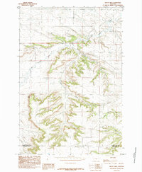
1985 · Mount Sinai
USGS Topo · 1:24,000
1985 · Locomotive Butte SE
USGS Topo · 1:24,000
1985 · Eagle Point
USGS Topo · 1:24,000