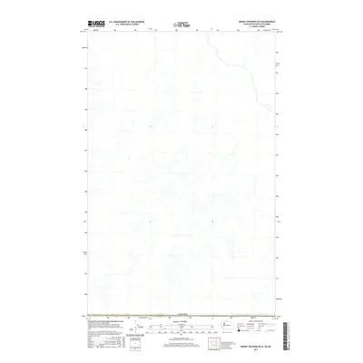
2017 Map of Mount Spickard OE N
USGS Topo · Published 2017About this map
High-altitude hydrology and the international boundary line define this 2017 survey of the northern Cascades. Centered on the remote border between Washington and British Columbia, the landscape is dominated by a complex network of glacial meltwater streams and seasonal drainages. The primary administrative feature is the sovereign border of Canada, which runs along the bottom edge of the quadrangle. Given the lack of human infrastructure or named settlements on this specific sheet, the map serves as a detailed record of the pristine drainage basins and natural terrain at the headwaters of the Fraser Valley region just before the close of the decade.
Find a feature on this map
1 named feature on this map. Tap any name to fly to it.
Don’t see what you’re looking for? This feature index may not catch every label — zoom into the map to look around manually.
Map Details
Editions of this 2017 Mount Spickard OE N Map
This is the sole edition of this map. No revisions or reprints were ever made.
Other maps of this area
1953 · Mt Challenger
USGS Topo · 1:62,500

1955 · Concrete
USGS Topo · 1:250,000

1958 · Concrete
USGS Topo · 1:250,000

1962 · Concrete
USGS Topo · 1:250,000
1969 · Hozomeen Mtn
USGS Topo · 1:24,000
1969 · Mt Spickard
USGS Topo · 1:24,000
1979 · Mt. Baker
USGS Topo · 1:100,000
1989 · Mt Redoubt
USGS Topo · 1:24,000
2002 · Hozomeen Mountain
USGS Topo · 1:24,000
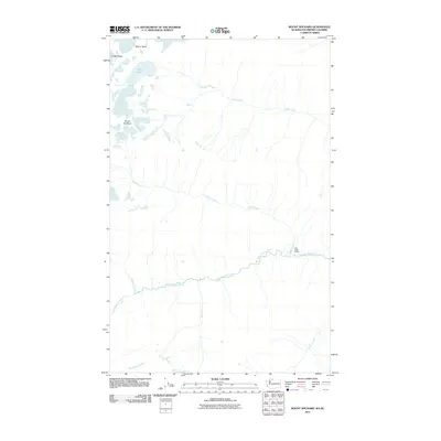
2011 · Mount Spickard
USGS Topo · 1:24,000