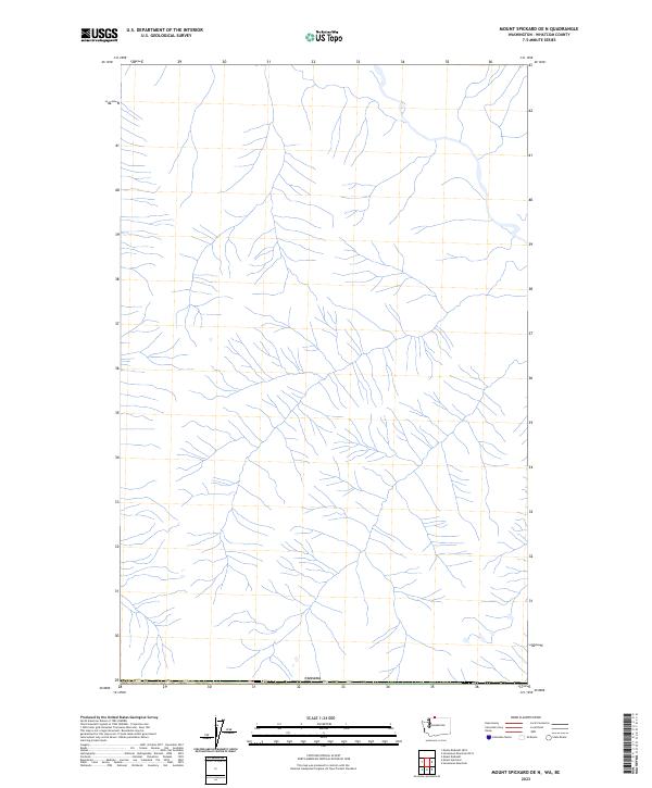
2023 Map of Mount Spickard OE N
USGS Topo · Published 2023About this map
The international boundary with Canada runs along the southern edge of this map, which focuses primarily on the complex network of mountain drainages in the high country of Whatcom County. Hydrological data from the National Hydrography Dataset reveals a dense web of unnamed alpine streams and tributaries that converge and branch across the terrain, indicating a landscape defined by significant elevation changes and glacial runoff. Unlike more developed areas, this 2023 edition shows an environment largely free of roads or named settlements, reflecting a protected or wilderness character where natural drainage patterns remain the primary geographic features.
Find a feature on this map
1 named feature on this map. Tap any name to fly to it.
Don’t see what you’re looking for? This feature index may not catch every label — zoom into the map to look around manually.
Map Details
Editions of this 2023 Mount Spickard OE N Map
This is the sole edition of this map. No revisions or reprints were ever made.
Other maps of this area

1953 · Mt Challenger
USGS Topo · 1:62,500

1955 · Concrete
USGS Topo · 1:250,000

1958 · Concrete
USGS Topo · 1:250,000

1962 · Concrete
USGS Topo · 1:250,000
1969 · Hozomeen Mtn
USGS Topo · 1:24,000
1969 · Mt Spickard
USGS Topo · 1:24,000

1979 · Mt. Baker
USGS Topo · 1:100,000
1989 · Mt Redoubt
USGS Topo · 1:24,000
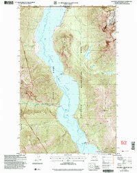
2002 · Hozomeen Mountain
USGS Topo · 1:24,000
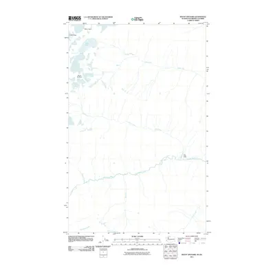
2011 · Mount Spickard
USGS Topo · 1:24,000