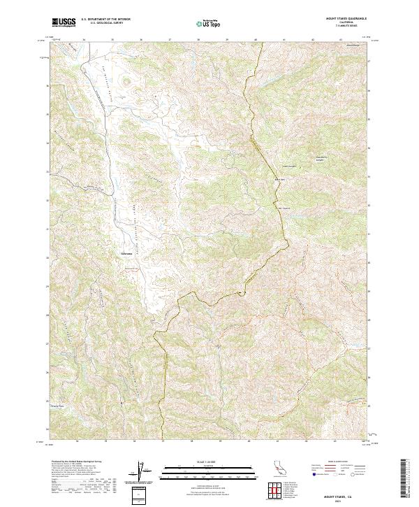
2021 Map of Mount Stakes
USGS Topo · Published 2021About this map
The Diablo Range dominates this 2021 landscape, defining a series of steep drainages and ridge lines along the border of Santa Clara and Stanislaus counties. The isolated settlement of Ashrama is situated in the Upper San Antonio Valley, while Grizzly Flats lies to the southwest along Grizzly Creek. This terrain is characterized by its high peaks and deep canyons, including Mount Stakes and Black Mountain, which overlook a network of seasonal watercourses like San Antonio Creek and Jumpoff Creek.
Find a feature on this map
41 named features on this map. Tap any name to fly to it.
Don’t see what you’re looking for? This feature index may not catch every label — zoom into the map to look around manually.
Map Details
Editions of this 2021 Mount Stakes Map
This is the sole edition of this map. No revisions or reprints were ever made.
Other maps of this area

1897 · Mt. Hamilton
USGS Topo · 1:62,500

1917 · Morgan Hill
USGS Topo · 1:62,500

1921 · Gilroy Hot Springs
USGS Topo · 1:62,500

1938 · Mt. Boardman
USGS Topo · 1:62,500

1939 · Morgan Hill
USGS Topo · 1:62,500

1939 · Gilroy Hot Springs
USGS Topo · 1:62,500

1940 · Gilroy Hot Springs
USGS Topo · 1:62,500

1941 · Morgan Hill
USGS Topo · 1:62,500

1942 · Mt. Hamilton
USGS Topo · 1:62,500

1942 · Mt. Boardman
USGS Topo · 1:62,500