
2014 Map of Mount Stickney
USGS Topo · Published 2014About this map
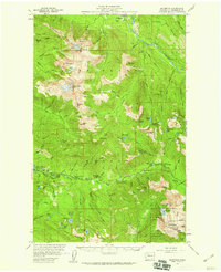
Snoqualmie National Forest dominates this high-elevation landscape in Snohomish County, where the jagged heights of Mt Stickney and Prospect Peak overlook a complex network of alpine hydrology. The map centers on the critical resources of the City of Everett Watershed, anchored by the expansive waters of Spada Lake. This reservoir is fed by a web of mountain tributaries including Williamson Cr and Gilbert Cr, while the Sultan River carves its way through the steep drainages of the Sultan Basin.
Find a feature on this map
35 named features on this map. Tap any name to fly to it.
Don’t see what you’re looking for? This feature index may not catch every label — zoom into the map to look around manually.
Map Details
Editions of this 2014 Mount Stickney Map
This is the sole edition of this map. No revisions or reprints were ever made.
Other maps of this area
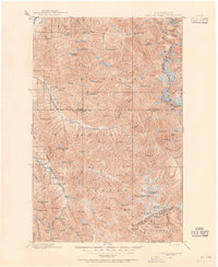
1899 · Glacier Peak
USGS Topo · 1:125,000
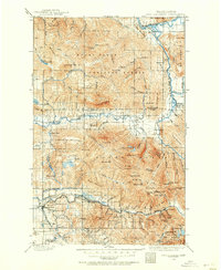
1899 · Stillaguamish
USGS Topo · 1:125,000
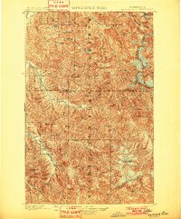
1901 · Glacier Peak
USGS Topo · 1:125,000
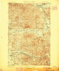
1901 · Stilaguamish
USGS Topo · 1:125,000
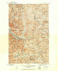
1902 · Skykomish
USGS Topo · 1:125,000
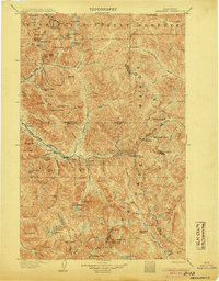
1905 · Skykomish
USGS Topo · 1:125,000
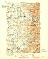
1921 · Sultan
USGS Topo · 1:125,000
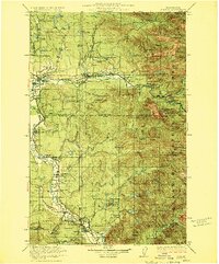
1923 · Sultan
USGS Topo · 1:125,000

1955 · Concrete
USGS Topo · 1:250,000
1957 · Silverton
USGS Topo · 1:62,500