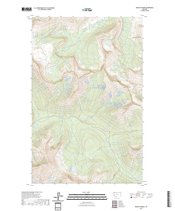
2024 Map of Mount Stimson
USGS Topo · Published 2024About this map
Mt Stimson anchors the high country of Glacier National Park, serving as a central landmark in this 2024 survey of the Continental Divide. The landscape is defined by the intersection of major watersheds at Triple Divide Peak, where drainage splits toward the Pacific, the Gulf of Mexico, and Hudson Bay via Pacific Creek, Atlantic Creek, and Hudson Bay Creek. This hydrological significance is marked by the presence of Triple Divide Pass and Red Eagle Pass, which provide the primary transit points through these massive terrain barriers. Historical and recreational access is traced along the Continental Divide National Scenic Trl and the Nyack Creek Trl. The map also details the Red Eagle Glacier and numerous family-named peaks such as Almost-a-Dog Mtn and Medicine Owl Peak, documenting the high-altitude geography along the border of Glacier and Flathead counties.
Find a feature on this map
27 named features on this map. Tap any name to fly to it.
Don’t see what you’re looking for? This feature index may not catch every label — zoom into the map to look around manually.
Map Details
Editions of this 2024 Mount Stimson Map
This is the sole edition of this map. No revisions or reprints were ever made.
Other maps of this area

1901 · Browning
USGS Topo · 1:125,000

1903 · Browning
USGS Topo · 1:125,000

1904 · Chief Mountain
USGS Topo · 1:125,000

1913 · Marias Pass
USGS Topo · 1:125,000

1914 · Nyack
USGS Topo · 1:125,000

1938 · Chief Mountain
USGS Topo · 1:125,000

1960 · Cut Bank
USGS Topo · 1:250,000

1963 · Cut Bank
USGS Topo · 1:250,000

1964 · Cut Bank
USGS Topo · 1:250,000

1964 · Stanton Lake
USGS Topo · 1:24,000