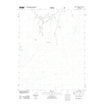
2012 Map of Mount Stirling
USGS Topo · Published 2012About this map
Spring Mountains hydrology and Forest Service infrastructure define this arid landscape in southern Nevada. Centered on the high point of Mount Stirling, the terrain is marked by a network of numbered forest roads, including 552 and 553, which trace the drainage patterns of the high desert. The map reveals the critical importance of water in this environment, documenting numerous named sources such as Jaybird Spring, Pah Rump Spring, and Gold Spring. These sites often represent the only dependable water for miles, historically supporting both early travelers and modern land management. The presence of Bill Smith Springs and Horseshutem Springs provides evidence of the varied names given to these life-sustaining landmarks by those who mapped and moved through the high elevations of Clark County.
Find a feature on this map
36 named features on this map. Tap any name to fly to it.
Don’t see what you’re looking for? This feature index may not catch every label — zoom into the map to look around manually.
Map Details
Editions of this 2012 Mount Stirling Map
This is the sole edition of this map. No revisions or reprints were ever made.
Other maps of this area
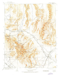
1907 · Las Vegas
USGS Topo · 1:250,000

1908 · Furnace Creek
USGS Topo · 1:250,000
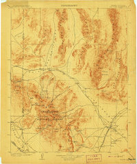
1908 · Las Vegas
USGS Topo · 1:250,000

1910 · Furnace Creek
USGS Topo · 1:250,000
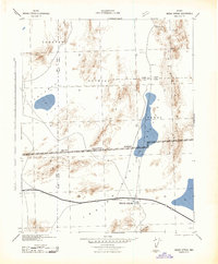
1942 · Indian Spring
USGS Topo · 1:125,000
1942 · Skull Mountain
USGS Topo · 1:125,000

1948 · Death Valley
USGS Topo · 1:250,000
1952 · Specter Range
USGS Topo · 1:62,500
1952 · Mercury
USGS Topo · 1:62,500
1954 · Las Vegas
USGS Topo · 1:250,000