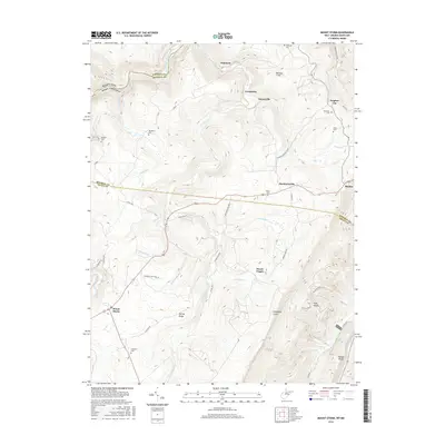
2016 Map of Mount Storm
USGS Topo · Published 2016About this map
Mount Storm and the high ridges of the Allegheny Front define this landscape along the border of Mineral and Grant Counties. This terrain is marked by deep resource extraction and family history, evidenced by the Kitzmiller Mine and a high density of small burial grounds such as Kalbough Cem, Blackburn Cem, and Dixon Cem. The network of local roads, including Sulphur-Hartmansville and Strip Job Rd, connects small settlements like Emoryville and Sulphur City to the surrounding hills. Waterways like Abram Creek and the North Branch Potomac River carve through the geography, while prominent heights like Mount Pisgah and Number 7 Hill provide significant local landmarks. The presence of numerous named cemeteries near the hamlets offers a detailed look at the genealogical footprint of these Appalachian communities.
Find a feature on this map
58 named features on this map. Tap any name to fly to it.
Don’t see what you’re looking for? This feature index may not catch every label — zoom into the map to look around manually.
Map Details
Editions of this 2016 Mount Storm Map
This is the sole edition of this map. No revisions or reprints were ever made.
Other maps of this area

1895 · Piedmont
USGS Topo · 1:125,000

1899 · Oakland
USGS Topo · 1:62,500

1900 · Oakland
USGS Topo · 1:62,500

1916 · Davis
USGS Topo · 1:48,000

1918 · Davis
USGS Topo · 1:62,500

1919 · Elk Garden
USGS Topo · 1:48,000

1919 · Davis
USGS Topo · 1:62,500

1920 · Elk Garden
USGS Topo · 1:48,000

1920 · Davis
USGS Topo · 1:48,000

1921 · Greenland Gap
USGS Topo · 1:62,500