
2016 Map of Mount Storm Lake
USGS Topo · Published 2016About this map
Mount Storm Lake and the Stony River Reservoir dominate the eastern reaches of this high-elevation landscape, where the waters of the Stony River carve through the high ridges of the Potomac Highlands. The terrain is defined by dramatic escarpments and wetlands, including the expansive Canaan Valley in the southwest and the biological diversity of Elder Swamp. Surveyed in the mid-2010s, the map illustrates the complex drainage patterns of the Little Blackwater River and Buffalo Cr as they navigate around prominent features like Cabin Mtn and Snowy Point. The descent from the Allegheny Front is traced by various backcountry routes such as A-Frame Road Trail and Co Rte 90/1, which connect the scattered ridges including Timberman Ridge and Red Brush Ridge.
Find a feature on this map
31 named features on this map. Tap any name to fly to it.
Don’t see what you’re looking for? This feature index may not catch every label — zoom into the map to look around manually.
Map Details
Editions of this 2016 Mount Storm Lake Map
This is the sole edition of this map. No revisions or reprints were ever made.
Other maps of this area
1895 · Piedmont
USGS Topo · 1:125,000
1899 · Oakland
USGS Topo · 1:62,500
1900 · Oakland
USGS Topo · 1:62,500
1916 · Davis
USGS Topo · 1:48,000
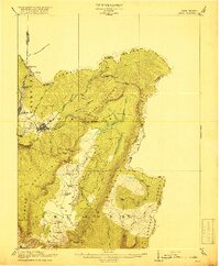
1918 · Davis
USGS Topo · 1:62,500
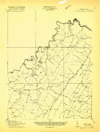
1919 · Elk Garden
USGS Topo · 1:48,000
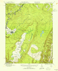
1919 · Davis
USGS Topo · 1:62,500
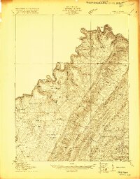
1920 · Elk Garden
USGS Topo · 1:48,000
1920 · Davis
USGS Topo · 1:48,000
1921 · Greenland Gap
USGS Topo · 1:62,500