
2019 Map of Mount Storm Lake
USGS Topo · Published 2019About this map
The high plateau of the Allegheny Front dominates this 2019 survey, where the rugged topography of Tucker and Grant counties meets at the headwaters of the Stony River. The landscape is defined by its dramatic elevation changes, featuring prominent landmarks such as Cabin Mtn and Snowy Point. The northeastern portion of the sheet is centered on the industrial utility of Mount Storm Lake, held by the Stony River Dam.
Find a feature on this map
33 named features on this map. Tap any name to fly to it.
Don’t see what you’re looking for? This feature index may not catch every label — zoom into the map to look around manually.
Map Details
Editions of this 2019 Mount Storm Lake Map
This is the sole edition of this map. No revisions or reprints were ever made.
Other maps of this area
1895 · Piedmont
USGS Topo · 1:125,000
1899 · Oakland
USGS Topo · 1:62,500
1900 · Oakland
USGS Topo · 1:62,500
1916 · Davis
USGS Topo · 1:48,000
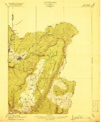
1918 · Davis
USGS Topo · 1:62,500
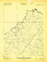
1919 · Elk Garden
USGS Topo · 1:48,000
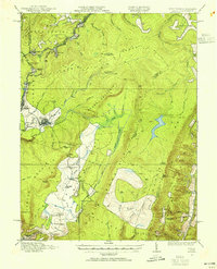
1919 · Davis
USGS Topo · 1:62,500
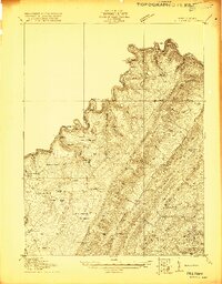
1920 · Elk Garden
USGS Topo · 1:48,000
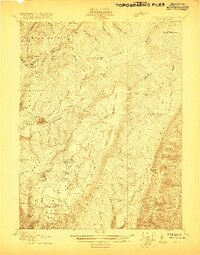
1920 · Davis
USGS Topo · 1:48,000
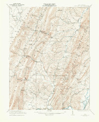
1921 · Greenland Gap
USGS Topo · 1:62,500