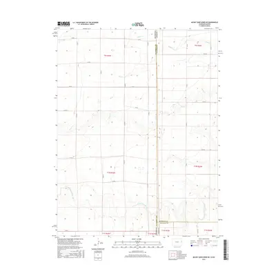
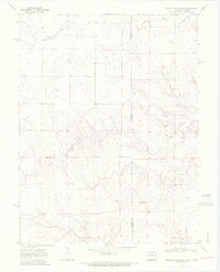
2016 Map of Mount Sunflower NE
USGS Topo · Published 2016About this map
The N Fork Smoky Hill River meanders across the southern portion of this high plains landscape, defining the topography of a region where the borders of Kansas and Colorado meet. This section of the Great Plains is characterized by a network of drainage systems including Sappa Cr, Sandy Cr, and S Beaver Cr, which carve subtle valleys into the surrounding plateau. The map details a strictly organized grid of county roads, such as Co RD 60 and Co RD R, which facilitate movement across the state line between Sherman Co and Wallace Co in Kansas and Kit Carson Co in Colorado. The surveyor's work captures the intersection of three counties and two states, illustrating the late-modern agricultural and land-management boundaries that define the rural American West.
Find a feature on this map
27 named features on this map. Tap any name to fly to it.
Don’t see what you’re looking for? This feature index may not catch every label — zoom into the map to look around manually.
Map Details
Editions of this 2016 Mount Sunflower NE Map
This is the sole edition of this map. No revisions or reprints were ever made.
Other maps of this area

1954 · Limon
USGS Topo · 1:250,000

1954 · Goodland
USGS Topo · 1:250,000

1956 · Goodland
USGS Topo · 1:250,000

1957 · Limon
USGS Topo · 1:250,000

1957 · Goodland
USGS Topo · 1:250,000

1958 · Limon
USGS Topo · 1:250,000
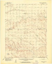
1959 · Horsethief Draw
USGS Topo · 1:62,500
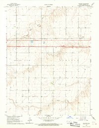
1966 · Ruleton
USGS Topo · 1:24,000
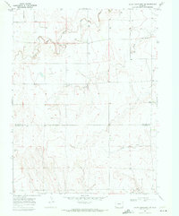
1969 · Mount Sunflower SW
USGS Topo · 1:24,000
1969 · Mount Sunflower
USGS Topo · 1:24,000