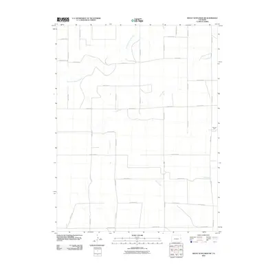
2010 Map of Mount Sunflower SW
USGS Topo · Published 2010About this map
The North Fork Smoky Hill River meanders across this High Plains landscape in Cheyenne County, defining the drainage patterns of a region dominated by large-scale ranching and agriculture. The 2010 survey illustrates the sparse, grid-based infrastructure of eastern Colorado, where cattle operations like Beverage Ranch anchor the local economy. Tributaries such as Turtle Creek and Goose Creek cut through the terrain, occasionally intersecting the extensive network of section-line roads, including County Hwy C and County Road GG. This map provides a clear record of land use and water resources in a region where the geography of the plains dictates the placement of every homestead and boundary.
Find a feature on this map
25 named features on this map. Tap any name to fly to it.
Don’t see what you’re looking for? This feature index may not catch every label — zoom into the map to look around manually.
Map Details
Editions of this 2010 Mount Sunflower SW Map
This is the sole edition of this map. No revisions or reprints were ever made.
Other maps of this area
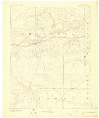
1892 · Cheyenne Wells
USGS Topo · 1:125,000
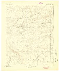
1894 · Cheyenne Wells
USGS Topo · 1:125,000

1954 · Limon
USGS Topo · 1:250,000

1954 · Lamar
USGS Topo · 1:250,000

1957 · Limon
USGS Topo · 1:250,000

1958 · Limon
USGS Topo · 1:250,000

1958 · Lamar
USGS Topo · 1:250,000
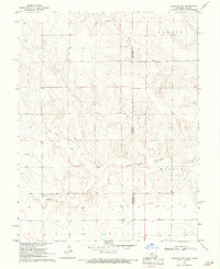
1969 · Arapahoe NE
USGS Topo · 1:24,000
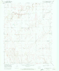
1969 · Mount Sunflower SW
USGS Topo · 1:24,000
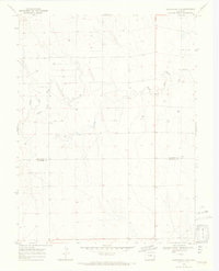
1969 · Burlington 3 SE
USGS Topo · 1:24,000