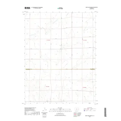
2019 Map of Mount Sunflower SW
USGS Topo · Published 2019About this map
The N Fork Smoky Hill River and its seasonal tributaries define the high plains landscape where Kit Carson and Cheyenne Counties meet. This 2019 survey captures the geometric precision of the Public Land Survey System, where sections are partitioned by a rigorous grid of section-line roads such as Co Rd Gg and Co RD 54. The drainage patterns of Turtle Cr and Goose Cr cut subtle relief into the terrain, illustrating the hydrologic network of the western Great Plains. This region remains defined by large-scale agricultural and ranching parcels, with the map recording the boundary between Kit Carson and Cheyenne Counties. The sparse infrastructure, consisting primarily of gravel connectors like Co Rd E and Co RD DD, underscores the enduringly rural character of the area near the Kansas border.
Find a feature on this map
23 named features on this map. Tap any name to fly to it.
Don’t see what you’re looking for? This feature index may not catch every label — zoom into the map to look around manually.
Map Details
Editions of this 2019 Mount Sunflower SW Map
This is the sole edition of this map. No revisions or reprints were ever made.
Other maps of this area
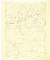
1892 · Cheyenne Wells
USGS Topo · 1:125,000
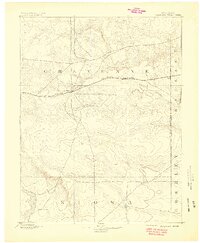
1894 · Cheyenne Wells
USGS Topo · 1:125,000

1954 · Limon
USGS Topo · 1:250,000

1954 · Lamar
USGS Topo · 1:250,000

1957 · Limon
USGS Topo · 1:250,000

1958 · Limon
USGS Topo · 1:250,000

1958 · Lamar
USGS Topo · 1:250,000
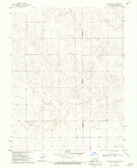
1969 · Arapahoe NE
USGS Topo · 1:24,000
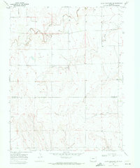
1969 · Mount Sunflower SW
USGS Topo · 1:24,000
1969 · Burlington 3 SE
USGS Topo · 1:24,000