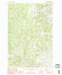
1985 Map of Mount Thompson
USGS Topo · Published 1986About this map
Deerlodge National Forest and Helena National Forest meet in this high-altitude landscape of the mid-1980s, where the legacy of Montana mining is etched into the topography. The terrain is defined by prominent peaks like Mount Thompson and Sugarloaf Mountain, and drained by a complex network of waterways including Cataract Creek and Amazon Creek. This era of the map captures the industrial footprint of the region, most notably at the Comet Mine and several scattered Mine Shafts. The presence of an Abandoned RR and an Abandoned Railroad following the course of the Boulder River provides a clear trace of the transportation corridors that once served the mineral-rich gulches of the Elkhorn Mountains. For those studying the evolution of Jefferson County, the map offers detailed naming of local landmarks such as Boulder Chief Park and Occidental Plateau.
Find a feature on this map
29 named features on this map. Tap any name to fly to it.
Don’t see what you’re looking for? This feature index may not catch every label — zoom into the map to look around manually.
Map Details
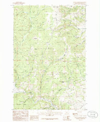
Editions of this 1985 Mount Thompson Map
2 editions found
Other maps of this area

1889 · Helena
USGS Topo · 1:250,000

1893 · Helena
USGS Topo · 1:250,000

1899 · Boulder
USGS Topo · 1:125,000

1899 · Helena
USGS Topo · 1:250,000

1903 · Helena
USGS Topo · 1:250,000

1947 · Butte
USGS Topo · 1:250,000

1950 · Jefferson City
USGS Topo · 1:62,500

1954 · Elk Park
USGS Topo · 1:62,500

1954 · Basin
USGS Topo · 1:62,500

1954 · Boulder
USGS Topo · 1:62,500