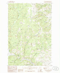
1985 Map of Mount Thompson
USGS Topo · Published 1986About this map
Deerlodge National Forest and Helena National Forest meet in this 1985 survey, documenting a landscape deeply shaped by mining and mountainous terrain. The map centers on Mount Thompson and its surrounding drainages, including Cataract Creek and Ore High Creek. Evidence of the region's industrial past is visible through features like the Comet Mine Shaft and several other generic Mine Shaft markings near Comet. The southern portion of the sheet is defined by the Boulder River corridor, where an Abandoned Railroad traces the riverbank through Galena Gulch. Notable landforms such as the Occidental Plateau, Bluebird Flats, and Sugarloaf Mountain illustrate the high-elevation character of the area. This record serves as a detailed guide to the road networks and water features, including Amazon Gulch and Snowdrift Creek, during the mid-1980s.
Find a feature on this map
35 named features on this map. Tap any name to fly to it.
Don’t see what you’re looking for? This feature index may not catch every label — zoom into the map to look around manually.
Map Details
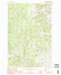
Editions of this 1985 Mount Thompson Map
2 editions found
Other maps of this area

1889 · Helena
USGS Topo · 1:250,000

1893 · Helena
USGS Topo · 1:250,000

1899 · Boulder
USGS Topo · 1:125,000

1899 · Helena
USGS Topo · 1:250,000

1903 · Helena
USGS Topo · 1:250,000

1947 · Butte
USGS Topo · 1:250,000

1950 · Jefferson City
USGS Topo · 1:62,500

1954 · Elk Park
USGS Topo · 1:62,500

1954 · Basin
USGS Topo · 1:62,500

1954 · Boulder
USGS Topo · 1:62,500