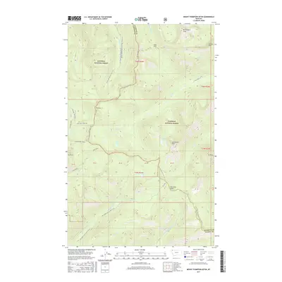
2017 Map of Mount Thompson-Seton
USGS Topo · Published 2017About this map
The Whitefish Range forms the backbone of this high-elevation landscape on the border of Kootenai National Forest and Flathead National Forest. This 2017 survey details a remote section of Northwest Montana where the Whitefish Divide separates complex drainage systems, including the headwaters of the Stillwater River and Whale Cr. Prominent peaks such as Mt Thompson-Seton and Huntsberger Peak define the horizon, while the Pacific NW National Scenic Trail winds through the terrain, crossing through Inuya Pass. The map reveals a land structured by Forest Service management, indicated by roads like Natl Forest Develop Road 7020 Rd and named water bodies such as Main Lake and Whale Lake. This record is essential for understanding modern trail alignments and land-use boundaries in the Montana backcountry.
Find a feature on this map
42 named features on this map. Tap any name to fly to it.
Don’t see what you’re looking for? This feature index may not catch every label — zoom into the map to look around manually.
Map Details
Editions of this 2017 Mount Thompson-Seton Map
This is the sole edition of this map. No revisions or reprints were ever made.
Other maps of this area
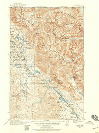
1913 · Stryker
USGS Topo · 1:125,000
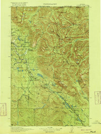
1916 · Stryker
USGS Topo · 1:125,000

1957 · Kalispell
USGS Topo · 1:250,000

1960 · Kalispell
USGS Topo · 1:250,000

1961 · Kalispell
USGS Topo · 1:250,000
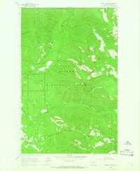
1963 · Mount Marston
USGS Topo · 1:24,000
1963 · Stryker
USGS Topo · 1:24,000
1963 · Stahl Peak
USGS Topo · 1:24,000
1966 · Red Meadow Lake
USGS Topo · 1:24,000
1966 · Bull Lake
USGS Topo · 1:24,000