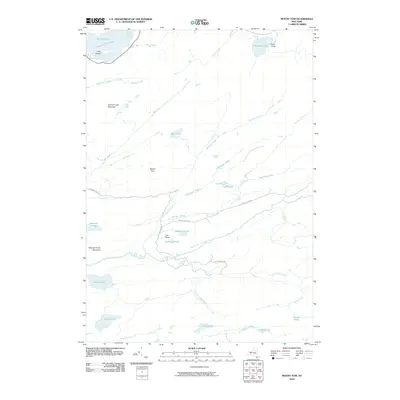
2010 Map of Mount Tom
USGS Topo · Published 2010About this map
Camp Uncas sits at the edge of Mohegan Lake in this high-resolution study of the central Adirondack wilderness. This area is defined by its complex network of interconnected water bodies and the drainage systems of the South Branch Moose River and Otter Brook. To the northwest, the map captures the eastern reach of the Fulton Chain Lakes at Seventh Lake, where Goff Island rests beneath the shadow of Seventh Lake Mountain. The landscape is relatively undeveloped, with seasonal access provided by Moose River Rd and Otter Brook Rd. Topographical features like Mount Tom and the open stretch known as The Plains provide distinctive landmarks for those navigating the backcountry. Numerous smaller basins, including Mitchell Ponds, Helldiver Pond, and Wolf Lake, are mapped with precision, showing the dense hydrologic character of Hamilton County.
Find a feature on this map
36 named features on this map. Tap any name to fly to it.
Don’t see what you’re looking for? This feature index may not catch every label — zoom into the map to look around manually.
Map Details
Editions of this 2010 Mount Tom Map
This is the sole edition of this map. No revisions or reprints were ever made.
Other maps of this area
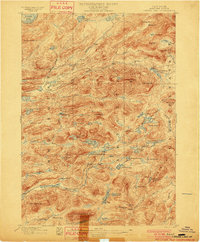
1900 · Canada Lake
USGS Topo · 1:62,500
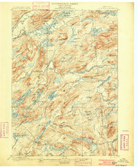
1901 · Old Forge
USGS Topo · 1:62,500
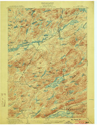
1903 · Big Moose
USGS Topo · 1:62,500
1903 · West Canada Lakes
USGS Topo · 1:62,500
1903 · Raquette Lake
USGS Topo · 1:62,500
1950 · Utica
USGS Topo · 1:250,000
1954 · Old Forge
USGS Topo · 1:62,500
1954 · West Canada Lakes
USGS Topo · 1:62,500
1954 · Raquette Lake
USGS Topo · 1:62,500
1954 · Big Moose
USGS Topo · 1:62,500