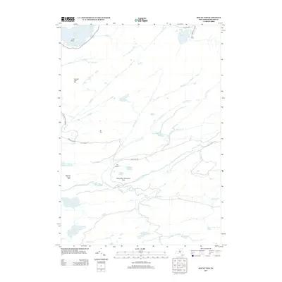
2013 Map of Mount Tom
USGS Topo · Published 2013About this map
Camp Uncas sits near the northern edge of this wilderness study, positioned on the shores of Mohegan Lake within the sprawling Adirondack Park Preserve. The landscape is dominated by a complex network of high-elevation water bodies and drainage systems, including the S Br Moose River and Otter Brook. This 2013 survey illustrates the protected character of the region, where roads like Limekiln Lake Rd and Moose River Rd provide limited access to the interior. Notable peaks such as Mt Tom, Seventh Lake Mtn, and Mitchell Ponds Mtn define the topography. In the central portion of the map, The Plains offer a distinct geographical break near the Moose River Recreation Area, surrounded by smaller features like Helldiver Pond and Icehouse Pond.
Find a feature on this map
39 named features on this map. Tap any name to fly to it.
Don’t see what you’re looking for? This feature index may not catch every label — zoom into the map to look around manually.
Map Details
Editions of this 2013 Mount Tom Map
This is the sole edition of this map. No revisions or reprints were ever made.
Other maps of this area
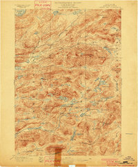
1900 · Canada Lake
USGS Topo · 1:62,500
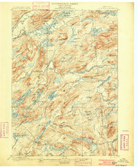
1901 · Old Forge
USGS Topo · 1:62,500
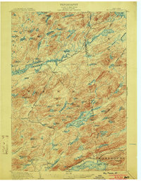
1903 · Big Moose
USGS Topo · 1:62,500
1903 · West Canada Lakes
USGS Topo · 1:62,500
1903 · Raquette Lake
USGS Topo · 1:62,500
1950 · Utica
USGS Topo · 1:250,000
1954 · Old Forge
USGS Topo · 1:62,500
1954 · West Canada Lakes
USGS Topo · 1:62,500
1954 · Raquette Lake
USGS Topo · 1:62,500
1954 · Big Moose
USGS Topo · 1:62,500