
2014 Map of Mount Tom
USGS Topo · Published 2014About this map
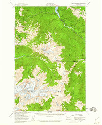
The high peaks and glacial drainages of the Olympic Mountains dominate this survey within the protected boundaries of Olympic National Park. This dramatic vertical landscape is centered on Mt Tom and the nearby Hoh Peak, where the ice of White Glacier feeds into a network of steep watercourses. The northern portion of the quadrangle follows the path of the Hoh River, a major glacial waterway, where the remote Happy Four Shelter provides one of the few named structures in this wilderness. To the south, the South Fork Hoh River and its tributaries, including Slate Cr and Lake Cr, carve through the terrain. The presence of Dragon Lake high in the mountain basins illustrates the classic alpine topography of this region, characterized by high-elevation lakes and perennial snowfields that remain largely untouched by modern development.
Find a feature on this map
16 named features on this map. Tap any name to fly to it.
Don’t see what you’re looking for? This feature index may not catch every label — zoom into the map to look around manually.
Map Details
Editions of this 2014 Mount Tom Map
This is the sole edition of this map. No revisions or reprints were ever made.
Other maps of this area
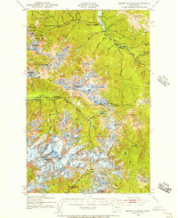
1935 · Mount Olympus
USGS Topo · 1:62,500
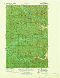
1939 · Mount Tom
USGS Topo · 1:62,500
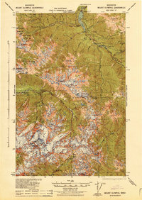
1942 · Mount Olympus
USGS Topo · 1:62,500
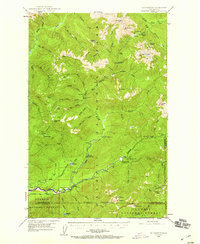
1947 · Mt Christie
USGS Topo · 1:62,500
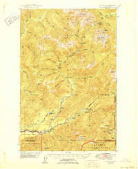
1950 · Mt Christie
USGS Topo · 1:62,500
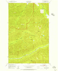
1950 · Slide Peak
USGS Topo · 1:24,000
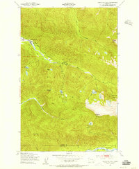
1950 · Bogachiel Peak
USGS Topo · 1:24,000
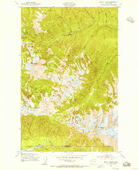
1950 · Mount Carrie
USGS Topo · 1:24,000
1956 · Mount Olympus
USGS Topo · 1:62,500
1956 · Kloochman Rock
USGS Topo · 1:62,500