
2017 Map of Mount Tom
USGS Topo · Published 2017About this map
Olympic National Park encompasses the entirety of this high-elevation terrain, dominated by the massif of the Olympic Mountains. The landscape is defined by its massive glaciated peaks and the origins of major river systems. Mount Tom stands as a primary landmark in the eastern section, situated near the headwaters of Mount Tom Creek and the ice of White Glacier. The drainage patterns here are distinct, with the Hoh River carving through the northern valleys while the South Fork Hoh River flows across the southern reaches of the quadrangle. High-altitude hydrology is further represented by remote water bodies such as Dragon Lake and multiple alpine streams including Slate Cr and Lake Cr. This survey illustrates the protected wilderness character of Jefferson County's interior, showing a landscape where geological features like Hoh Peak serve as the primary navigational markers in the absence of human settlements or road networks.
Find a feature on this map
24 named features on this map. Tap any name to fly to it.
Don’t see what you’re looking for? This feature index may not catch every label — zoom into the map to look around manually.
Map Details
Editions of this 2017 Mount Tom Map
This is the sole edition of this map. No revisions or reprints were ever made.
Other maps of this area
1935 · Mount Olympus
USGS Topo · 1:62,500
1939 · Mount Tom
USGS Topo · 1:62,500
1942 · Mount Olympus
USGS Topo · 1:62,500
1947 · Mt Christie
USGS Topo · 1:62,500
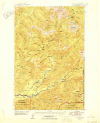
1950 · Mt Christie
USGS Topo · 1:62,500
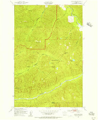
1950 · Slide Peak
USGS Topo · 1:24,000
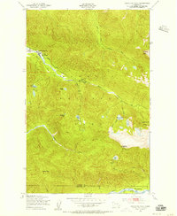
1950 · Bogachiel Peak
USGS Topo · 1:24,000
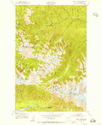
1950 · Mount Carrie
USGS Topo · 1:24,000
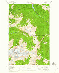
1956 · Mount Olympus
USGS Topo · 1:62,500
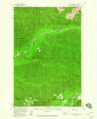
1956 · Kloochman Rock
USGS Topo · 1:62,500