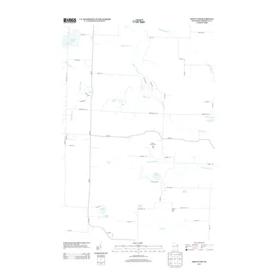
2013 Map of Mount Tom
USGS Topo · Published 2013About this map
Mt Tom and the Mount Tom Fire Tower dominate this pocket of Marinette County, overlooking a glacial landscape defined by numerous small lakes and meandering waterways. The terrain is structured by a network of rural routes, including Co Hwy-X and Co Hwy-A, which navigate around bodies of water like Newton Lake, Star Lake, and the centrally located Simpson Lake. The hydrology is particularly distinct, with the Middle Inlet, Upper Middle Inlet, and Lower Middle Inlet creating a repetitive drainage pattern across the township. Local landmarks such as the Sundown Golf Course and small water bodies like Retcof Lake and Engleman Lake reflect the area's recreational character. This 2013 survey provides a detailed view of the Northwoods landscape, showing the persistence of traditional land use and the scattered residential development along roads like Moonshine Hill Rd and Town Line Rd.
Find a feature on this map
54 named features on this map. Tap any name to fly to it.
Don’t see what you’re looking for? This feature index may not catch every label — zoom into the map to look around manually.
Map Details
Editions of this 2013 Mount Tom Map
This is the sole edition of this map. No revisions or reprints were ever made.
Other maps of this area

1939 · Porterfield
USGS Topo · 1:48,000

1940 · Athelstane
USGS Topo · 1:48,000

1941 · Coleman
USGS Topo · 1:48,000

1942 · Athelstane
USGS Topo · 1:48,000

1942 · Coleman
USGS Topo · 1:48,000

1942 · Porterfield
USGS Topo · 1:48,000

1942 · Wausaukee
USGS Topo · 1:48,000

1947 · Wausaukee
USGS Topo · 1:48,000

1950 · Coleman
USGS Topo · 1:48,000

1954 · Iron Mountain
USGS Topo · 1:250,000