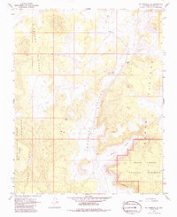
1967 Map of Mount Trumbull NE
USGS Topo · Published 1986About this map
Toroweap Valley divides this high-desert landscape, a striking corridor bounded by the rising Toroweap Cliffs and the volcanic terrain of the Uinkaret Plateau. Surveyed in the late 1960s, the map highlights the intersection of public lands, where the Kaibab National Forest meets the northern reaches of the Grand Canyon National Monument. Human presence is sparse, marked primarily by ranching and resource extraction, notably at Graham Ranch and a Cinder Pit near the northern edge. Essential water sources for the region's livestock and wildlife are identified at Witch Pool and Little Toroweap Res. The terrain shifts from the level benches of the Kanab Plateau into the complex drainages of Broad Canyon, illustrating the dramatic geologic transition toward the canyon rim.
Find a feature on this map
15 named features on this map. Tap any name to fly to it.
Don’t see what you’re looking for? This feature index may not catch every label — zoom into the map to look around manually.
Map Details
Editions of this 1967 Mount Trumbull NE Map
Other maps of this area

1886 · Mt. Trumbull
USGS Topo · 1:250,000

1886 · Kaibab
USGS Topo · 1:250,000

1892 · Mt. Trumbull
USGS Topo · 1:250,000

1953 · Grand Canyon
USGS Topo · 1:250,000

1954 · Heaton Knolls
USGS Topo · 1:62,500

1957 · Grand Canyon
USGS Topo · 1:250,000

1958 · Grand Canyon
USGS Topo · 1:250,000

1960 · Grand Canyon
USGS Topo · 1:250,000

1962 · Tuckup Canyon
USGS Topo · 1:62,500
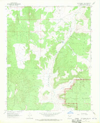
1967 · Mt. Trumbull NE
USGS Topo · 1:24,000