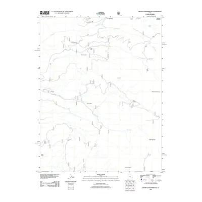
2011 Map of Mount Tukuhnikivatz
USGS Topo · Published 2011About this map
Mount Tukuhnikivatz and South Mountain dominate this high-elevation landscape within the La Sal Mountains of San Juan County. Mapping of this area in the early twenty-first century reveals a terrain defined by deep drainages like Hell Canyon and Dorry Canyon, alongside significant peaks such as Haystack Mountain. The presence of the Yellow Circle Mines, Chess Ridge Mine, and LaSal Pass Mine points to a history of mineral exploration in the region, while landmarks like Gold Basin Tower and the M4 Ranch mark the limited human footprint on these heights.
Find a feature on this map
30 named features on this map. Tap any name to fly to it.
Don’t see what you’re looking for? This feature index may not catch every label — zoom into the map to look around manually.
Map Details
Editions of this 2011 Mount Tukuhnikivatz Map
This is the sole edition of this map. No revisions or reprints were ever made.
Other maps of this area

1885 · La Sal
USGS Topo · 1:250,000

1954 · Mt. Waas 4 SW
USGS Topo · 1:24,000

1954 · Mt Peale 1 SW
USGS Topo · 1:24,000

1954 · Mt Peale 1 NW
USGS Topo · 1:24,000

1954 · Mt Peale 2 SW
USGS Topo · 1:24,000

1954 · Mt Peale 2 NW
USGS Topo · 1:24,000

1954 · Mt Peale 2 SE
USGS Topo · 1:24,000

1954 · Mt. Waas 3 SE
USGS Topo · 1:24,000

1954 · Mt Peale 2 NE
USGS Topo · 1:24,000

1954 · Mt. Waas 3 SW
USGS Topo · 1:24,000