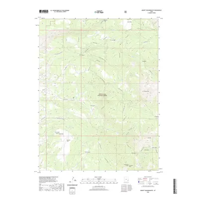
2020 Map of Mount Tukuhnikivatz
USGS Topo · Published 2020About this map
Mt Tukuhnikivatz dominates the eastern high ground of the Manti-La Sal National Forest, overlooking a complex system of canyons and basins. This recent survey of the La Sal Mountains reveals an intricate network of trails and access roads, including the Gold Basin Trail and the Slaughter Flats Connector, which facilitate movement between the peaks and lower elevations. The landscape is defined by its dramatic relief, from the heights of South Mtn to the depths of Dorry Canyon and Black Canyon. Several seasonal and perennial water sources are identified, such as Squaw Springs and Slaughter Spring, which have historically provided vital water in this arid environment. The map provides precise detail for modern backcountry navigation, showing the relative positions of landmarks like Boren Mesa and the drainage patterns of Pack Cr and Brumley Cr.
Find a feature on this map
41 named features on this map. Tap any name to fly to it.
Don’t see what you’re looking for? This feature index may not catch every label — zoom into the map to look around manually.
Map Details
Editions of this 2020 Mount Tukuhnikivatz Map
This is the sole edition of this map. No revisions or reprints were ever made.
Other maps of this area
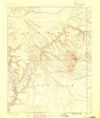
1885 · La Sal
USGS Topo · 1:250,000
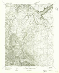
1954 · Mt. Waas 4 SW
USGS Topo · 1:24,000
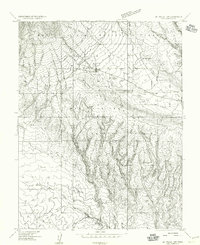
1954 · Mt Peale 1 SW
USGS Topo · 1:24,000
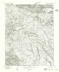
1954 · Mt Peale 1 NW
USGS Topo · 1:24,000
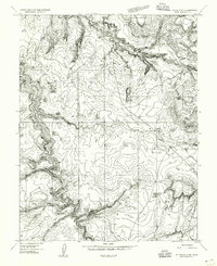
1954 · Mt Peale 2 SW
USGS Topo · 1:24,000
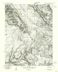
1954 · Mt Peale 2 NW
USGS Topo · 1:24,000
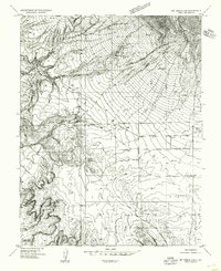
1954 · Mt Peale 2 SE
USGS Topo · 1:24,000
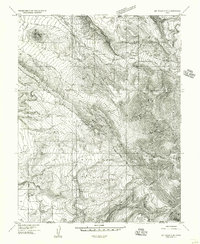
1954 · Mt. Waas 3 SE
USGS Topo · 1:24,000
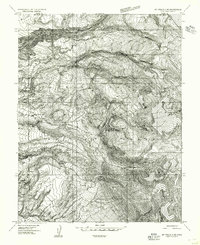
1954 · Mt Peale 2 NE
USGS Topo · 1:24,000
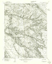
1954 · Mt. Waas 3 SW
USGS Topo · 1:24,000