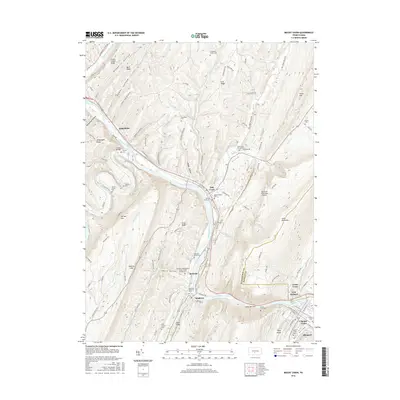
2016 Map of Mount Union
USGS Topo · Published 2016About this map
The Juniata River carves a deep path through the Ridge and Valley province, most notably at the dramatic gap of Jacks Narrows between Jacks Mountain and Sideling Hill. This corridor has long served as a vital transportation artery for Huntingdon County, anchoring industrial and residential hubs like Mapleton, Mount Union, and Mill Creek. The map reveals a dense concentration of local history markers, including the Lucy Furnace site and an extensive array of family and institutional burial grounds such as the Old White Church Cem and the Mapleton Independent Order of Odd Fellows Cem. Away from the river, the landscape is defined by steep ridges like Standing Stone Ridge and the Smith Valley, where smaller water bodies like Hares Valley Cr and Sugar Grove Run drain the complex topography.
Find a feature on this map
110 named features on this map. Tap any name to fly to it.
Don’t see what you’re looking for? This feature index may not catch every label — zoom into the map to look around manually.
Map Details
Editions of this 2016 Mount Union Map
This is the sole edition of this map. No revisions or reprints were ever made.
Other maps of this area

1901 · Huntingdon
USGS Topo · 1:62,500

1904 · Huntingdon
USGS Topo · 1:62,500

1919 · Menno
USGS Topo · 1:62,500

1922 · Mt Union
USGS Topo · 1:48,000

1923 · Tyrone
USGS Topo · 1:62,500

1924 · Mt. Union
USGS Topo · 1:62,500

1929 · Tyrone
USGS Topo · 1:48,000

1933 · Tyrone
USGS Topo · 1:62,500

1935 · Allensville
USGS Topo · 1:62,500

1938 · Allensville
USGS Topo · 1:62,500