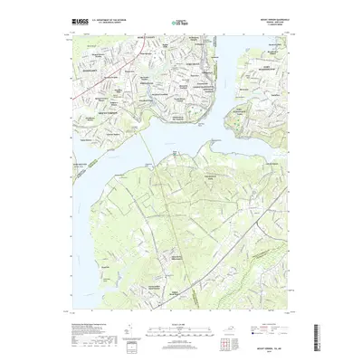
2019 Map of Mount Vernon
USGS Topo · Published 2019About this map
Mount Vernon and the surrounding residential landscapes of Fairfax and Prince George's Counties are documented here along the wide Potomac River. This map shows a densely developed suburban corridor including Hybla Valley, Woodlawn, and Hollin Hills, where modern street grids meet the protected lands of Fort Washington Park and Piscataway Park. The inclusion of several historic burial sites, such as the Slave Cem near Mount Vernon Neck and the Marshall Cem at Marshal Point, provides critical detail for local history and genealogy research.
Find a feature on this map
78 named features on this map. Tap any name to fly to it.
Don’t see what you’re looking for? This feature index may not catch every label — zoom into the map to look around manually.
Map Details
Editions of this 2019 Mount Vernon Map
This is the sole edition of this map. No revisions or reprints were ever made.
Other maps of this area

1890 · Mt. Vernon
USGS Topo · 1:125,000

1891 · Mt. Vernon
USGS Topo · 1:125,000

1892 · Brandywine
USGS Topo · 1:62,500

1894 · Mt. Vernon
USGS Topo · 1:125,000

1895 · Brandywine
USGS Topo · 1:62,500

1897 · Mt. Vernon
USGS Topo · 1:125,000

1899 · Patuxent
USGS Topo · 1:125,000

1900 · Washington
USGS Topo · 1:62,500

1906 · Patuxent
USGS Topo · 1:125,000

1911 · Brandywine
USGS Topo · 1:62,500