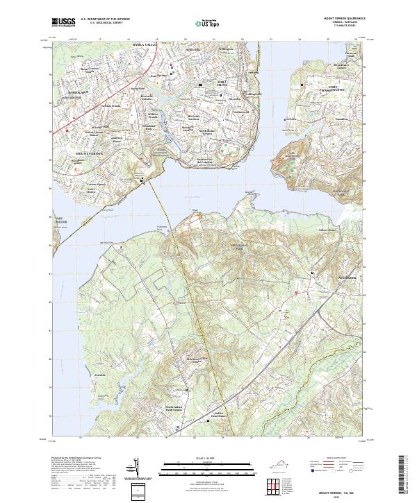
2022 Map of Mount Vernon
USGS Topo · Published 2022About this map
Mount Vernon and its surrounding estates anchor this landscape along the Potomac River, where Virginia and Maryland shores face one another across a historic reach of water. The map documents the preserved grounds of the Washington estate, including the Washington Family Cem and the Slave Cem (Mount Vernon), set against a modern backdrop of suburban growth. Settlements like Gum Springs and Hybla Valley show the dense residential patterns on the Virginia side, while the Maryland shore remains characterized by the extensive acreage of Piscataway Park and Fort Washington Park. Numerous family-named landmarks and cemeteries, such as the Lyles Family Cem and Marshall Cem, offer significant details for genealogical research. The Potomac Heritage National Scenic Trl winds through the region, connecting these historical nodes within a landscape of tidal creeks like Pomonkey Cr and N Br Little Hunting Cr.
Find a feature on this map
79 named features on this map. Tap any name to fly to it.
Don’t see what you’re looking for? This feature index may not catch every label — zoom into the map to look around manually.
Map Details
Editions of this 2022 Mount Vernon Map
This is the sole edition of this map. No revisions or reprints were ever made.
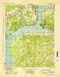
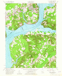
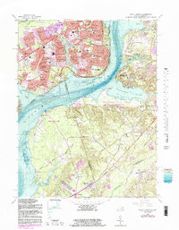
Historical Maps of Calvert Manor Through Time
4 maps found