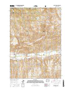
2017 Map of Mount Vernon
USGS Topo · Published 2017About this map
John Day River valley life in the modern era is defined by the sophisticated water management systems required to support this Grant County settlement. The landscape around Mount Vernon is crisscrossed by an extensive network of irrigation canals, including the Enterprise Ditch, Panama Ditch, and Laycock Long Ditch, reflecting the community's deep agricultural roots. To the north, the foothills of the Malheur National Forest rise toward Grouse Mtn, where the terrain transitions from river bottom to timbered high country. Historical sites such as Mount Vernon Hot Springs and local burial grounds like Ingle Cem and Fletcher Cem offer valuable points of interest for genealogists and local historians. The presence of Hines Log Pond speaks to the timber industry's influence on the local geography and the evolution of the town's industrial footprint.
Find a feature on this map
62 named features on this map. Tap any name to fly to it.
Don’t see what you’re looking for? This feature index may not catch every label — zoom into the map to look around manually.
Map Details
Editions of this 2017 Mount Vernon Map
This is the sole edition of this map. No revisions or reprints were ever made.
Other maps of this area
1940 · Mount Vernon
USGS Topo · 1:62,500
1940 · John Day
USGS Topo · 1:62,500
1943 · John Day
USGS Topo · 1:62,500
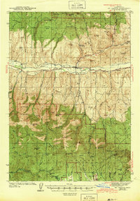
1943 · Mount Vernon
USGS Topo · 1:62,500
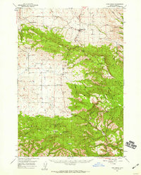
1949 · Long Creek
USGS Topo · 1:62,500
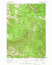
1949 · Susanville
USGS Topo · 1:62,500
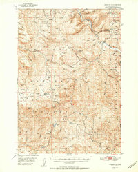
1951 · Susanville
USGS Topo · 1:62,500
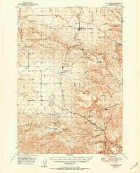
1951 · Long Creek
USGS Topo · 1:62,500
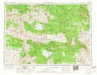
1955 · Canyon City
USGS Topo · 1:250,000
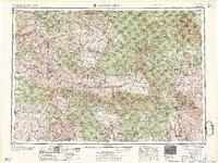
1959 · Canyon City
USGS Topo · 1:250,000