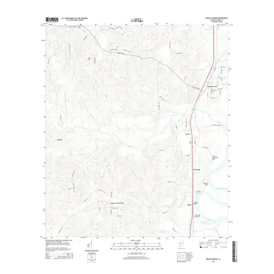
2014 Map of Mount Vernon
USGS Topo · Published 2014About this map
The Mobile River corridor in Mobile County defines the landscape of this 2014 survey, where the river's winding course creates a series of prominent high points including Thirty Seven Mile Bluff and Chastang Bluff. Historically significant settlements and transit points like Mount Vernon and Bucks are situated along the rail and highway corridor that parallels the river. The interior terrain is dissected by numerous waterways such as Cedar Cr, which features Cedar Creek Falls, and Bush Coon Cr.
Find a feature on this map
76 named features on this map. Tap any name to fly to it.
Don’t see what you’re looking for? This feature index may not catch every label — zoom into the map to look around manually.
Map Details
Editions of this 2014 Mount Vernon Map
This is the sole edition of this map. No revisions or reprints were ever made.
Other maps of this area
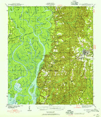
1941 · Bay Minette
USGS Topo · 1:62,500
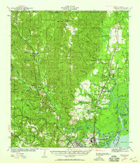
1941 · Creola
USGS Topo · 1:62,500
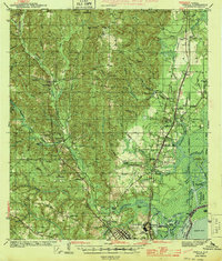
1943 · Creola
USGS Topo · 1:62,500
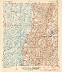
1943 · Bay Minette
USGS Topo · 1:62,500
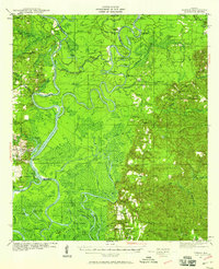
1943 · Tensaw
USGS Topo · 1:62,500
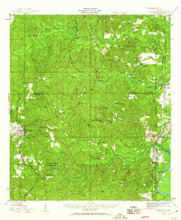
1943 · Citronelle
USGS Topo · 1:62,500
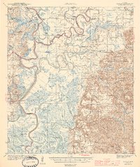
1944 · Tensaw
USGS Topo · 1:62,500
1946 · Citronelle
USGS Topo · 1:62,500
1953 · Andalusia
USGS Topo · 1:250,000
1953 · Hattiesburg
USGS Topo · 1:250,000