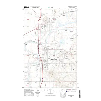
2014 Map of Mount Vernon
USGS Topo · Published 2014About this map
The Skagit River meanders through this portion of Skagit County, anchoring a landscape where intensive agriculture meets growing urban centers. Mount Vernon and Burlington serve as the primary hubs, connected by the BNSF Railway and several major thoroughfares that cross the river at the Riverside Drive Bridge. The surrounding alluvial plains are dotted with long-standing family operations such as Double K Farms, Wolters Dairy, and Cedardale Farm, illustrating the region's enduring dairy and farming heritage.
Find a feature on this map
224 named features on this map. Tap any name to fly to it.
Don’t see what you’re looking for? This feature index may not catch every label — zoom into the map to look around manually.
Map Details
Editions of this 2014 Mount Vernon Map
This is the sole edition of this map. No revisions or reprints were ever made.
Other maps of this area

1911 · Mount Vernon
USGS Topo · 1:125,000

1918 · Samish Lake
USGS Topo · 1:62,500

1921 · Wickersham
USGS Topo · 1:62,500

1940 · Mt Vernon
USGS Topo · 1:62,500

1943 · Mt Vernon
USGS Topo · 1:62,500

1944 · Clear Lake
USGS Topo · 1:62,500

1951 · Wickersham
USGS Topo · 1:62,500

1952 · Alger
USGS Topo · 1:24,000

1954 · Bow
USGS Topo · 1:24,000

1954 · Samish Lake
USGS Topo · 1:62,500