
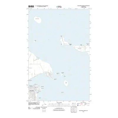
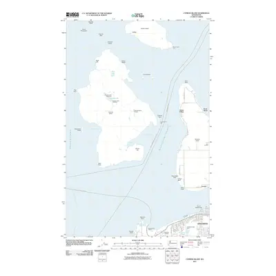
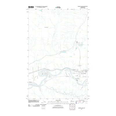
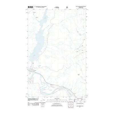
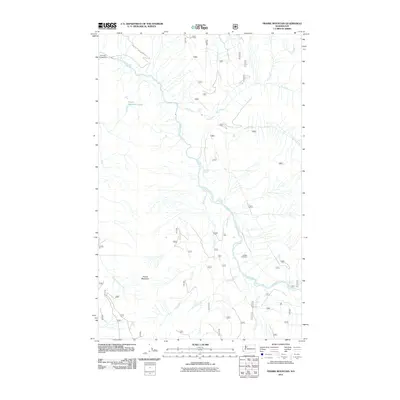
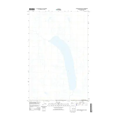
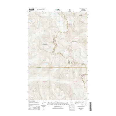
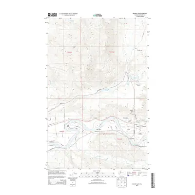
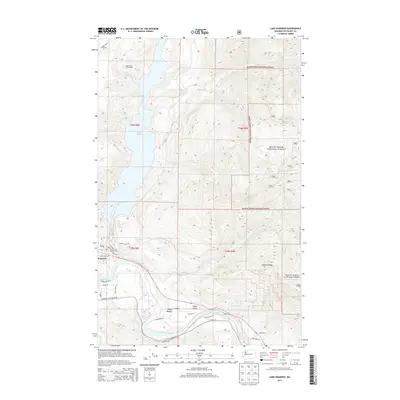
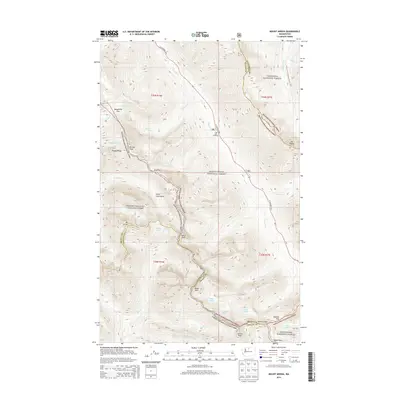
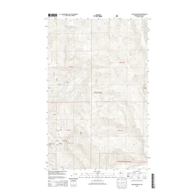
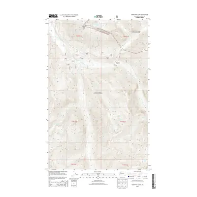
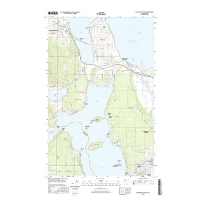
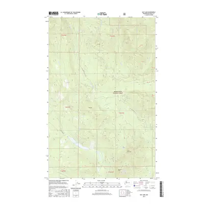
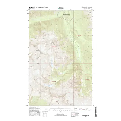
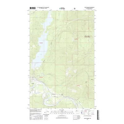
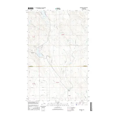
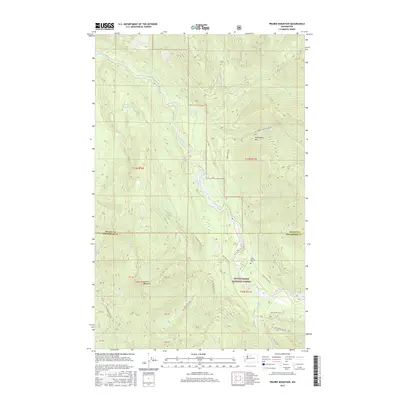
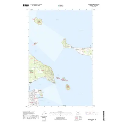
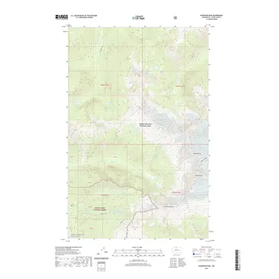
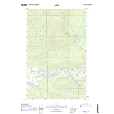
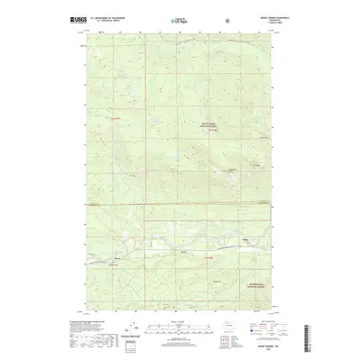
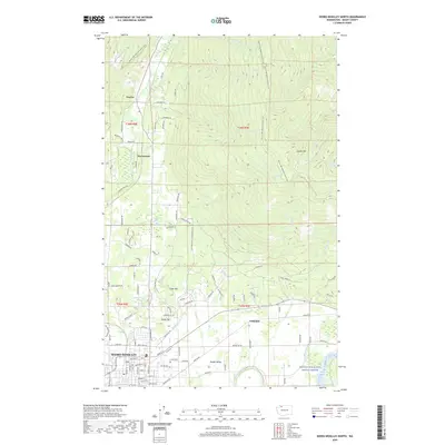
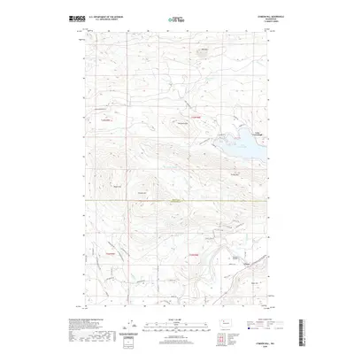
1954 Map of Samish Lake
USGS Topo · Published 1960About this map
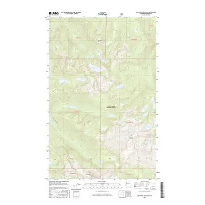
Western Washington College sits on the lower slopes of Sehome Hill overlooking the northern edge of this coastal survey, where the residential grids of Bellingham and Happy Valley meet the shoreline of Bellingham Bay. The landscape transitions from the urbanized north to the timbered heights of Anderson Mountain and the freshwater basins of Samish Lake and Lake Whatcom. This era captures a region defined by its water-dependent industries and transportation corridors, with the Northern Pacific and Great Northern railroads skirting the bays. Notable community hubs such as the Silver Run Grange Hall and Hickson Community Hall suggest a localized rural social structure. To the south, the terrain flattens into the agricultural plains of Warner Prairie and the delta near Edison, where the Samish River winds through fertile flats and small settlements like Bow and Blanchard.
Find a feature on this map
101 named features on this map. Tap any name to fly to it.
Don’t see what you’re looking for? This feature index may not catch every label — zoom into the map to look around manually.
Map Details
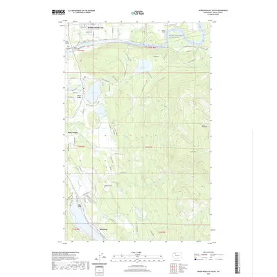
Editions of this 1954 Samish Lake Map
This is the sole edition of this map. No revisions or reprints were ever made.
Historical Maps of Bellingham Through Time
212 maps found

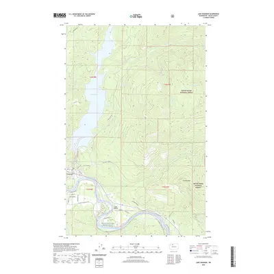
1918 Samish Lake
Skagit County, WA

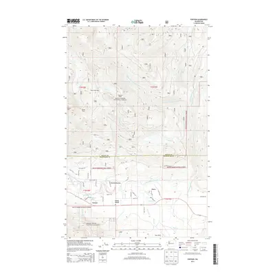
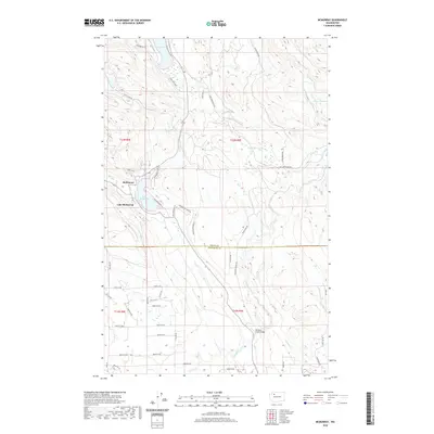
1921 Wickersham
Skagit County, WA

1940 Mt Vernon
Skagit County, WA

1943 Mt Vernon
Skagit County, WA

1944 Clear Lake
Skagit County, WA

1951 Wickersham
Skagit County, WA

1952 Lake Shannon
Skagit County, WA
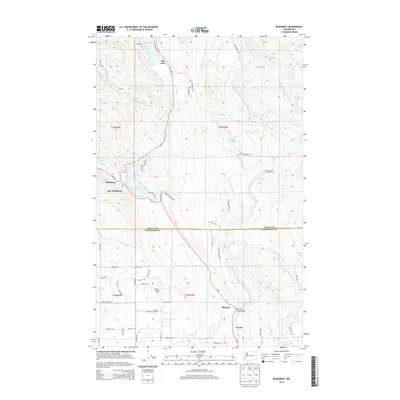
1954 Samish Lake
Skagit County, WA

1956 Clear Lake
Skagit County, WA

1956 Utsalady
Skagit County, WA

1963 Cascade Pass
Skagit County, WA

1963 Dome Peak
Skagit County, WA

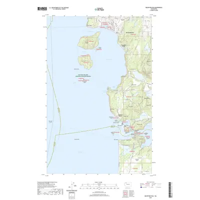
1963 Downey Mtn
Skagit County, WA

1963 Eldorado Peak
Skagit County, WA

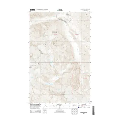
1963 Forbidden Peak
Skagit County, WA

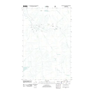
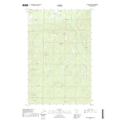
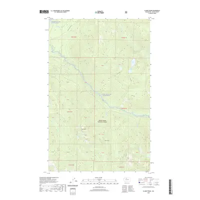
1963 Mt. Arriva
Skagit County, WA

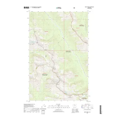
1963 Mt Logan
Skagit County, WA

1963 Sonny Boy Lakes
Skagit County, WA

1966 Finney Peak
Skagit County, WA

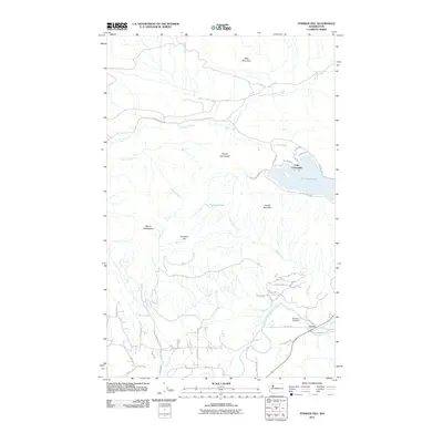
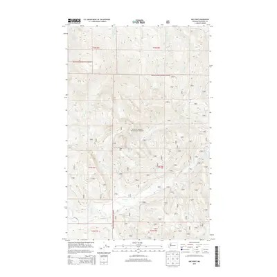
1966 Fortson
Skagit County, WA

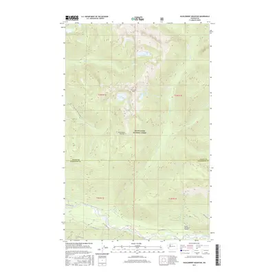
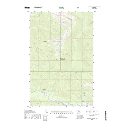
1966 Huckleberry Mtn
Skagit County, WA

1966 Illabot Peaks
Skagit County, WA

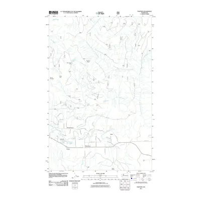
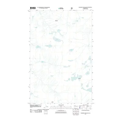
1966 Prairie Mtn.
Skagit County, WA

1966 Snowking Mtn.
Skagit County, WA

1973 Anacortes North
Skagit County, WA

1973 Cypress Island
Skagit County, WA

1978 Anacortes South
Skagit County, WA

1978 Deception Pass
Skagit County, WA

1981 Sedro-Woolley North
Skagit County, WA

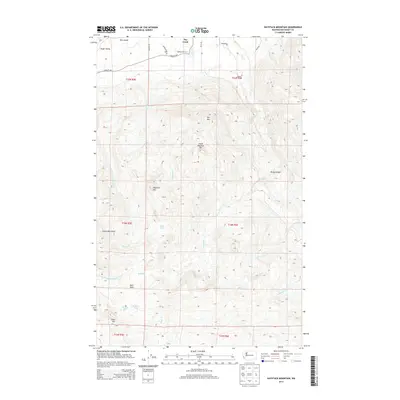
1985 Haystack Mtn
Skagit County, WA

1985 Mc Murray
Skagit County, WA

1985 Sedro-Woolley South
Skagit County, WA

1985 Stimson Hill
Skagit County, WA

1989 Big Devil Peak
Skagit County, WA

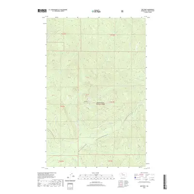
1989 Day Lake
Skagit County, WA

1989 Gee Point
Skagit County, WA

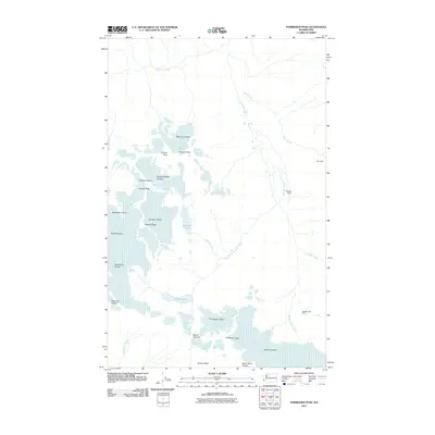
1989 Grandy Lake
Skagit County, WA

1989 Lake Shannon
Skagit County, WA

1989 Mt Higgins
Skagit County, WA

1989 Sauk Mountain
Skagit County, WA

1997 Cypress Island
Skagit County, WA

1998 Anacortes North
Skagit County, WA

1998 Anacortes South
Skagit County, WA

1998 Deception Pass
Skagit County, WA

1998 Stimson Hill
Skagit County, WA

1998 Utsalady
Skagit County, WA

1999 Big Devil Peak
Skagit County, WA

1999 Cascade Pass
Skagit County, WA

1999 Dome Peak
Skagit County, WA

1999 Eldorado Peak
Skagit County, WA

1999 Illabot Peaks
Skagit County, WA

2002 Mount Arriva
Skagit County, WA

2002 Mount Logan
Skagit County, WA
2011 Anacortes North
Skagit County, WA
2011 Anacortes South
Skagit County, WA
2011 Big Devil Peak
Skagit County, WA
2011 Cascade Pass
Skagit County, WA
2011 Cypress Island
Skagit County, WA
2011 Day Lake
Skagit County, WA
2011 Deception Pass
Skagit County, WA

2011 Dome Peak
Skagit County, WA
2011 Downey Mountain
Skagit County, WA

2011 Eldorado Peak
Skagit County, WA
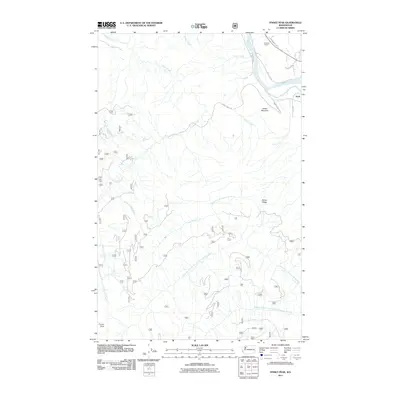
2011 Finney Peak
Skagit County, WA
2011 Forbidden Peak
Skagit County, WA
2011 Fortson
Skagit County, WA
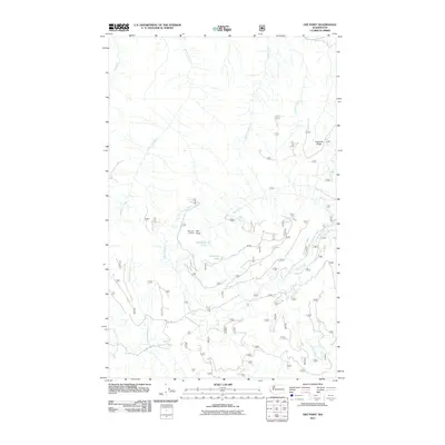
2011 Gee Point
Skagit County, WA
2011 Grandy Lake
Skagit County, WA
2011 Haystack Mountain
Skagit County, WA
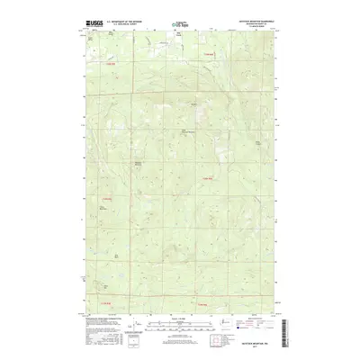
2011 Huckleberry Mountain
Skagit County, WA
2011 Illabot Peaks
Skagit County, WA
2011 Lake Shannon
Skagit County, WA
2011 McMurray
Skagit County, WA

2011 Mount Arriva
Skagit County, WA
2011 Mount Higgins
Skagit County, WA
2011 Mount Logan
Skagit County, WA
2011 Prairie Mountain
Skagit County, WA
2011 Sauk Mountain
Skagit County, WA
2011 Sedro-Woolley North
Skagit County, WA
2011 Sedro-Woolley South
Skagit County, WA
2011 Snowking Mountain
Skagit County, WA
2011 Sonny Boy Lakes
Skagit County, WA
2011 Stimson Hill
Skagit County, WA
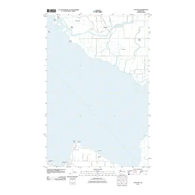
2011 Utsalady
Skagit County, WA
2014 Anacortes North
Skagit County, WA
2014 Anacortes South
Skagit County, WA
2014 Big Devil Peak
Skagit County, WA
2014 Cascade Pass
Skagit County, WA
2014 Copper Mountain OE N
Skagit County, WA
2014 Cypress Island
Skagit County, WA
2014 Day Lake
Skagit County, WA
2014 Deception Pass
Skagit County, WA
2014 Dome Peak
Skagit County, WA
2014 Downey Mountain
Skagit County, WA
2014 Eldorado Peak
Skagit County, WA
2014 Finney Peak
Skagit County, WA
2014 Forbidden Peak
Skagit County, WA
2014 Fortson
Skagit County, WA
2014 Gee Point
Skagit County, WA
2014 Grandy Lake
Skagit County, WA
2014 Haystack Mountain
Skagit County, WA
2014 Huckleberry Mountain
Skagit County, WA

2014 Illabot Peaks
Skagit County, WA
2014 Lake Shannon
Skagit County, WA
2014 McMurray
Skagit County, WA
2014 Mount Arriva
Skagit County, WA
2014 Mount Higgins
Skagit County, WA
2014 Mount Logan
Skagit County, WA
2014 Prairie Mountain
Skagit County, WA
2014 Sauk Mountain
Skagit County, WA
2014 Sedro-Woolley North
Skagit County, WA
2014 Sedro-Woolley South
Skagit County, WA
2014 Snowking Mountain
Skagit County, WA
2014 Sonny Boy Lakes
Skagit County, WA
2014 Stimson Hill
Skagit County, WA
2014 Utsalady
Skagit County, WA
2017 Anacortes North
Skagit County, WA
2017 Anacortes South
Skagit County, WA
2017 Big Devil Peak
Skagit County, WA

2017 Cascade Pass
Skagit County, WA
2017 Copper Mountain OE N
Skagit County, WA
2017 Cypress Island
Skagit County, WA
2017 Day Lake
Skagit County, WA
2017 Deception Pass
Skagit County, WA

2017 Dome Peak
Skagit County, WA

2017 Downey Mountain
Skagit County, WA
2017 Eldorado Peak
Skagit County, WA
2017 Finney Peak
Skagit County, WA
2017 Forbidden Peak
Skagit County, WA
2017 Fortson
Skagit County, WA
2017 Gee Point
Skagit County, WA
2017 Grandy Lake
Skagit County, WA
2017 Haystack Mountain
Skagit County, WA
2017 Huckleberry Mountain
Skagit County, WA
2017 Illabot Peaks
Skagit County, WA
2017 Lake Shannon
Skagit County, WA
2017 McMurray
Skagit County, WA
2017 Mount Arriva
Skagit County, WA
2017 Mount Higgins
Skagit County, WA
2017 Mount Logan
Skagit County, WA
2017 Prairie Mountain
Skagit County, WA
2017 Sauk Mountain
Skagit County, WA
2017 Sedro-Woolley North
Skagit County, WA
2017 Sedro-Woolley South
Skagit County, WA
2017 Snowking Mountain
Skagit County, WA
2017 Sonny Boy Lakes
Skagit County, WA
2017 Stimson Hill
Skagit County, WA
2017 Utsalady
Skagit County, WA
2020 Anacortes North
Skagit County, WA

2020 Anacortes South
Skagit County, WA
2020 Big Devil Peak
Skagit County, WA
2020 Cascade Pass
Skagit County, WA
2020 Copper Mountain OE N
Skagit County, WA
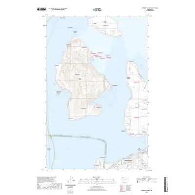
2020 Cypress Island
Skagit County, WA
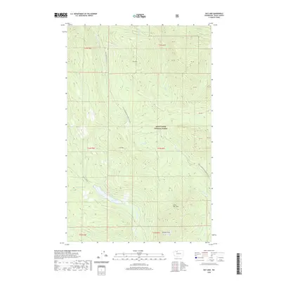
2020 Day Lake
Skagit County, WA
2020 Deception Pass
Skagit County, WA

2020 Dome Peak
Skagit County, WA
2020 Downey Mountain
Skagit County, WA
2020 Eldorado Peak
Skagit County, WA
2020 Finney Peak
Skagit County, WA
2020 Forbidden Peak
Skagit County, WA
2020 Fortson
Skagit County, WA
2020 Gee Point
Skagit County, WA
2020 Grandy Lake
Skagit County, WA
2020 Haystack Mountain
Skagit County, WA
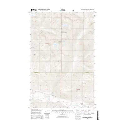
2020 Huckleberry Mountain
Skagit County, WA
2020 Illabot Peaks
Skagit County, WA
2020 Lake Shannon
Skagit County, WA
2020 McMurray
Skagit County, WA
2020 Mount Arriva
Skagit County, WA
2020 Mount Higgins
Skagit County, WA
2020 Mount Logan
Skagit County, WA
2020 Prairie Mountain
Skagit County, WA
2020 Sauk Mountain
Skagit County, WA
2020 Sedro-Woolley North
Skagit County, WA
2020 Sedro-Woolley South
Skagit County, WA
2020 Snowking Mountain
Skagit County, WA
2020 Sonny Boy Lakes
Skagit County, WA
2020 Stimson Hill
Skagit County, WA
2020 Utsalady
Skagit County, WA

2023 Anacortes North
Skagit County, WA

2023 Anacortes South
Skagit County, WA

2023 Big Devil Peak
Skagit County, WA

2023 Cascade Pass
Skagit County, WA

2023 Copper Mountain OE N
Skagit County, WA

2023 Cypress Island
Skagit County, WA

2023 Day Lake
Skagit County, WA

2023 Deception Pass
Skagit County, WA

2023 Dome Peak
Skagit County, WA

2023 Downey Mountain
Skagit County, WA

2023 Eldorado Peak
Skagit County, WA

2023 Finney Peak
Skagit County, WA

2023 Forbidden Peak
Skagit County, WA

2023 Fortson
Skagit County, WA

2023 Gee Point
Skagit County, WA

2023 Grandy Lake
Skagit County, WA

2023 Haystack Mountain
Skagit County, WA

2023 Huckleberry Mountain
Skagit County, WA

2023 Illabot Peaks
Skagit County, WA

2023 Lake Shannon
Skagit County, WA

2023 McMurray
Skagit County, WA

2023 Mount Arriva
Skagit County, WA

2023 Mount Higgins
Skagit County, WA

2023 Mount Logan
Skagit County, WA

2023 Prairie Mountain
Skagit County, WA

2023 Sauk Mountain
Skagit County, WA

2023 Sedro-Woolley North
Skagit County, WA

2023 Sedro-Woolley South
Skagit County, WA

2023 Snowking Mountain
Skagit County, WA

2023 Sonny Boy Lakes
Skagit County, WA

2023 Stimson Hill
Skagit County, WA

2023 Utsalady
Skagit County, WA