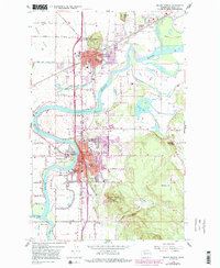
1998 Map of Mount Vernon
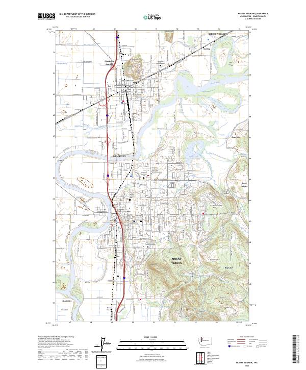
USGS Topo · Published 2002About this map
The Skagit River dominates this landscape, winding through a complex network of sloughs and islands as it passes between Mount Vernon and Burlington. This late 1990s record captures the region’s dense infrastructure, where the Burlington Northern railroad and major highways converge near Chuckanut Junction. The map highlights the educational and social heart of the community, featuring the campus of Skagit Valley College, numerous schools like Lincoln Sch, and local gathering spots such as the Meadow Grange.
Find a feature on this map
75 named features on this map. Tap any name to fly to it.
Don’t see what you’re looking for? This feature index may not catch every label — zoom into the map to look around manually.
Map Details
Editions of this 1998 Mount Vernon Map
This is the sole edition of this map. No revisions or reprints were ever made.
Historical Maps of Mount Vernon Through Time
3 maps found