
1911 Map of Mount Vernon
USGS Topo · Published 1911About this map
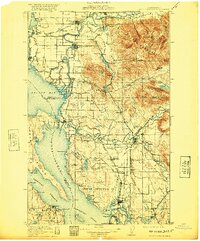
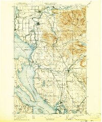
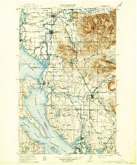
Kultus Mountain and the complex drainage of the Skagit River dominate this early twentieth-century coastal landscape. This survey documents the critical rail-and-water corridors that defined regional commerce, where the Northern Pacific RR and Great Northern RR intersect at Mount Vernon and Burlington. To the south, the Tulalip Indian Reservation occupies the peninsula between Port Susan and the Snohomish River delta, featuring coastal landmarks like Tulalip Bay and Mission.
Find a feature on this map
134 named features on this map. Tap any name to fly to it.
Don’t see what you’re looking for? This feature index may not catch every label — zoom into the map to look around manually.
Map Details
Editions of this 1911 Mount Vernon Map
4 editions found
Other maps of this area

1895 · Snohomish
USGS Topo · 1:125,000

1897 · Seattle
USGS Topo · 1:125,000

1899 · Stillaguamish
USGS Topo · 1:125,000

1901 · Stilaguamish
USGS Topo · 1:125,000

1909 · Mt Baker
USGS Topo · 1:192,000

1915 · Mt. Baker
USGS Topo · 1:250,000

1918 · Samish Lake
USGS Topo · 1:62,500

1921 · Wickersham
USGS Topo · 1:62,500

1921 · Sultan
USGS Topo · 1:125,000

1923 · Sultan
USGS Topo · 1:125,000