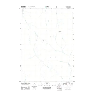
2011 Map of Mount Wallace
USGS Topo · Published 2011About this map
Mount Wallace stands as the central landmark in this high-altitude landscape of Park County, where the terrain is defined by a complex network of basins and drainages. The area is marked by distinctive topographical features like The Hole and the Red Rock Plateau, illustrating a wild environment shaped by seasonal snowmelt and erosion. Passage Falls and Passage Creek occupy the northwestern corner, while the eastern reaches are drained by the long course of Hellroaring Creek.
Find a feature on this map
21 named features on this map. Tap any name to fly to it.
Don’t see what you’re looking for? This feature index may not catch every label — zoom into the map to look around manually.
Map Details
Editions of this 2011 Mount Wallace Map
This is the sole edition of this map. No revisions or reprints were ever made.
Other maps of this area

1891 · Livingston
USGS Topo · 1:250,000

1893 · Livingston
USGS Topo · 1:250,000

1940 · Mt. Cowen
USGS Topo · 1:62,500

1940 · Mt Wallace
USGS Topo · 1:62,500

1943 · Mt Wallace
USGS Topo · 1:62,500

1943 · Mt Cowen
USGS Topo · 1:62,500

1947 · Bozeman
USGS Topo · 1:250,000

1948 · Bozeman
USGS Topo · 1:250,000

1955 · Bozeman
USGS Topo · 1:250,000

1955 · Emigrant
USGS Topo · 1:62,500