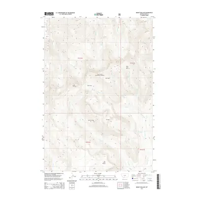
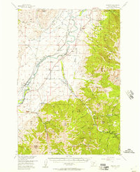
2014 Map of Mount Wallace
USGS Topo · Published 2014About this map
Mt Wallace and the high ridges of the Absaroka Range dominate this corner of the Gallatin National Forest in Park County. The landscape is defined by its dramatic drainage networks and high-altitude basins, where numerous creeks including Wallace Creek and Grizzly Creek carve through the terrain. A notable geographic feature in the northwest is Passage Falls along Passage Creek, indicating the sharp elevation drops common to this wilderness area. The map illustrates a high-country environment largely untouched by development, focused instead on natural landmarks like Clover Basin, Silver Basin, and the Red Rock Plateau. These basins and plateaus, often sitting above 9,000 feet, represent the complex alpine topography of south-central Montana as it was documented in the early twenty-first century.
Find a feature on this map
28 named features on this map. Tap any name to fly to it.
Don’t see what you’re looking for? This feature index may not catch every label — zoom into the map to look around manually.
Map Details
Editions of this 2014 Mount Wallace Map
This is the sole edition of this map. No revisions or reprints were ever made.
Other maps of this area
1891 · Livingston
USGS Topo · 1:250,000
1893 · Livingston
USGS Topo · 1:250,000
1940 · Mt. Cowen
USGS Topo · 1:62,500
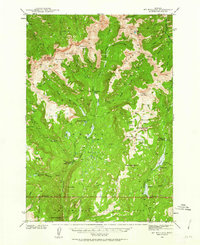
1940 · Mt Wallace
USGS Topo · 1:62,500
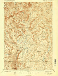
1943 · Mt Wallace
USGS Topo · 1:62,500
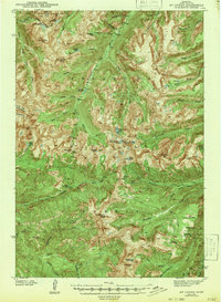
1943 · Mt Cowen
USGS Topo · 1:62,500

1947 · Bozeman
USGS Topo · 1:250,000

1948 · Bozeman
USGS Topo · 1:250,000
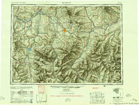
1955 · Bozeman
USGS Topo · 1:250,000
1955 · Emigrant
USGS Topo · 1:62,500