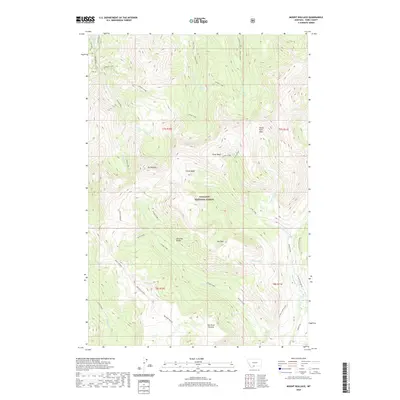
2020 Map of Mount Wallace
USGS Topo · Published 2020About this map
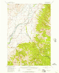
Mt Wallace and the surrounding high-elevation terrain of the Absaroka Range dominate this landscape within the Gallatin National Forest. The map detail reveals a complex network of glacial cirques and drainage basins, including Clover Basin, Silver Basin, and the North Fork Basin, which feed the headwaters of numerous mountain streams. This topography is defined by significant landmarks like the Red Rock Plateau and the secluded area known as The Hole.
Find a feature on this map
40 named features on this map. Tap any name to fly to it.
Don’t see what you’re looking for? This feature index may not catch every label — zoom into the map to look around manually.
Map Details
Editions of this 2020 Mount Wallace Map
This is the sole edition of this map. No revisions or reprints were ever made.
Other maps of this area
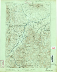
1891 · Livingston
USGS Topo · 1:250,000
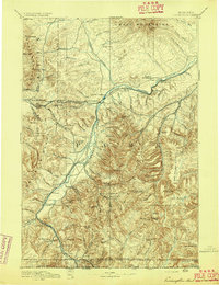
1893 · Livingston
USGS Topo · 1:250,000
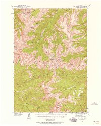
1940 · Mt. Cowen
USGS Topo · 1:62,500
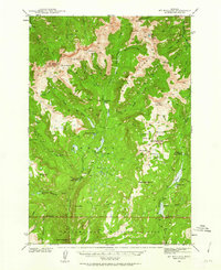
1940 · Mt Wallace
USGS Topo · 1:62,500
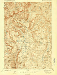
1943 · Mt Wallace
USGS Topo · 1:62,500
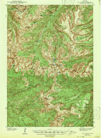
1943 · Mt Cowen
USGS Topo · 1:62,500

1947 · Bozeman
USGS Topo · 1:250,000

1948 · Bozeman
USGS Topo · 1:250,000
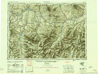
1955 · Bozeman
USGS Topo · 1:250,000
1955 · Emigrant
USGS Topo · 1:62,500