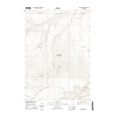
2015 Map of Mount Washburn
USGS Topo · Published 2015About this map
Mt Washburn serves as the focal point of this high-altitude landscape, where several key watersheds and geothermal features originate. The map documents the primitive and developed routes through this section of Yellowstone National Park, including the winding Grand Loop Rd and the Chittenden Rd that navigates the ascent near Dunraven Pass.
Find a feature on this map
28 named features on this map. Tap any name to fly to it.
Don’t see what you’re looking for? This feature index may not catch every label — zoom into the map to look around manually.
Map Details
Editions of this 2015 Mount Washburn Map
This is the sole edition of this map. No revisions or reprints were ever made.
Other maps of this area
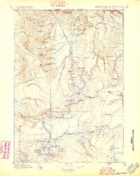
1885 · Gallatin
USGS Topo · 1:125,000
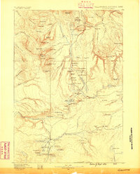
1885 · Gallatin
USGS Topo · 1:125,000
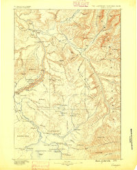
1886 · Canyon
USGS Topo · 1:125,000
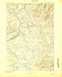
1895 · Canyon
USGS Topo · 1:125,000
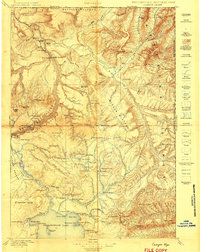
1896 · Canyon
USGS Topo · 1:125,000
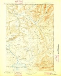
1901 · Canyon
USGS Topo · 1:125,000
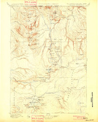
1901 · Gallatin
USGS Topo · 1:125,000
1907 · Canyon
USGS Topo · 1:125,000
1908 · Gallatin
USGS Topo · 1:125,000
1911 · Gallatin
USGS Topo · 1:125,000