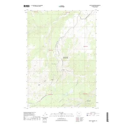
2017 Map of Mount Washburn
USGS Topo · Published 2017About this map
Mt Washburn serves as the focal point for this section of the Washburn Range, where the high-altitude terrain is marked by thermal activity and steep drainages. The landscape is defined by the thermal features of the Washburn Hot Springs and Inkpot Spring, which feed into the rugged canyons. To the southeast, the topography drops sharply into the Grand Canyon of the Yellowstone, where the Yellowstone River carves through the volcanic geology. The map shows a transition from vehicle access on the Grand Loop Road to a dense network of backcountry routes, including the Chittenden Road-Mount Washburn Trail and the Seven Mile Hole Trail. These paths connect significant summits like Dunraven Peak and Hedges Peak, illustrating the 21st-century management of wilderness access within Yellowstone National Park.
Find a feature on this map
33 named features on this map. Tap any name to fly to it.
Don’t see what you’re looking for? This feature index may not catch every label — zoom into the map to look around manually.
Map Details
Editions of this 2017 Mount Washburn Map
This is the sole edition of this map. No revisions or reprints were ever made.
Other maps of this area
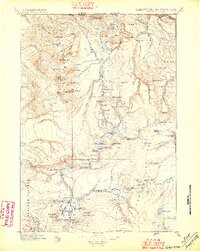
1885 · Gallatin
USGS Topo · 1:125,000
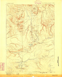
1885 · Gallatin
USGS Topo · 1:125,000
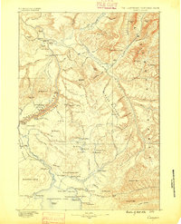
1886 · Canyon
USGS Topo · 1:125,000
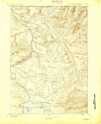
1895 · Canyon
USGS Topo · 1:125,000
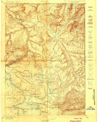
1896 · Canyon
USGS Topo · 1:125,000
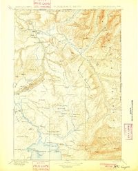
1901 · Canyon
USGS Topo · 1:125,000
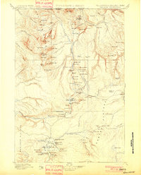
1901 · Gallatin
USGS Topo · 1:125,000
1907 · Canyon
USGS Topo · 1:125,000
1908 · Gallatin
USGS Topo · 1:125,000
1911 · Gallatin
USGS Topo · 1:125,000