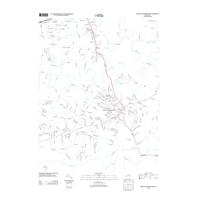
2013 Map of Mount Washington
USGS Topo · Published 2013About this map
Mount Washington serves as the central hub of this Jefferson County landscape, where the confluence of several small waterways like Whittaker Run and McCullough Run meet the larger drainage of Floyds Fork. The map documents a community deeply rooted in its local geography, evidenced by the numerous burial grounds scattered across the terrain, including Highland Memorial Gardens Cem, Mt Washington Cem, and the uniquely named Hell Cem. To the north, the smaller settlements of Fairmount and Thixton sit along the corridor leading toward Louisville, while the southern edge is defined by the winding path of the Salt River near Smithville. The geography is further detailed by private landmarks such as the Jefferson Sportsmans Club Lake and the various family-named cemeteries like Jones Cem and Markwell Cem that dot the outskirts of the growing suburban residential network.
Find a feature on this map
263 named features on this map. Tap any name to fly to it.
Don’t see what you’re looking for? This feature index may not catch every label — zoom into the map to look around manually.
Map Details
Editions of this 2013 Mount Washington Map
This is the sole edition of this map. No revisions or reprints were ever made.
Other maps of this area

1907 · Louisville
USGS Topo · 1:62,500

1929 · Taylorsville
USGS Topo · 1:62,500

1949 · Shepherdsville
USGS Topo · 1:24,000

1949 · Samuels
USGS Topo · 1:24,000

1949 · Shepherdsville
USGS Topo · 1:62,500
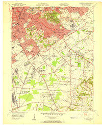
1951 · Louisville East
USGS Topo · 1:24,000

1951 · Jeffersontown
USGS Topo · 1:24,000

1951 · Fisherville
USGS Topo · 1:24,000

1951 · Waterford
USGS Topo · 1:24,000
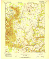
1951 · Brooks
USGS Topo · 1:24,000