
1951 Map of Mount Washington
USGS Topo · Published 1951About this map
Mount Washington serves as the primary hub of this landscape, situated at the intersection of several regional routes including Bardstown Road. The terrain is deeply carved by the meandering Floyds Fork, which snakes through the central portion of the map before its waters eventually meet the Salt River near Smithville. This 1951 record captures the area just as the Jefferson and Bullitt County line was being formally positioned by local planning commissions.
Find a feature on this map
35 named features on this map. Tap any name to fly to it.
Don’t see what you’re looking for? This feature index may not catch every label — zoom into the map to look around manually.
Map Details
Editions of this 1951 Mount Washington Map
This is the sole edition of this map. No revisions or reprints were ever made.
Other maps of this area

1907 · Louisville
USGS Topo · 1:62,500

1929 · Taylorsville
USGS Topo · 1:62,500

1949 · Shepherdsville
USGS Topo · 1:24,000

1949 · Samuels
USGS Topo · 1:24,000

1949 · Shepherdsville
USGS Topo · 1:62,500
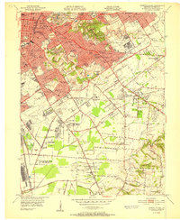
1951 · Louisville East
USGS Topo · 1:24,000

1951 · Jeffersontown
USGS Topo · 1:24,000

1951 · Fisherville
USGS Topo · 1:24,000

1951 · Waterford
USGS Topo · 1:24,000
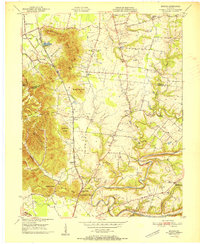
1951 · Brooks
USGS Topo · 1:24,000