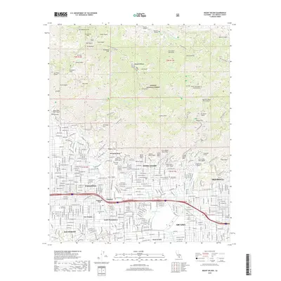
2018 Map of Mount Wilson
USGS Topo · Published 2018About this map
Mount Wilson stands as the centerpiece of this terrain, where the high peaks of the San Gabriel Mountains drop sharply into the residential basins of the northern Los Angeles suburbs. The landscape is defined by its verticality, transitioning from the telecommunications towers and peaks like San Gabriel Peak and Mt Lowe down to the engineered flood controls of the Sierra Madre Debris Basin and Santa Anita Debris Basin. The map captures the dense interface between the wild slopes of the Angeles National Forest and the developed neighborhoods of Sierra Madre, Pasadena, and Monrovia. This era is marked by significant educational and cultural infrastructure, including Pasadena City College and the American Acad of Dramatic Arts-West. Historic recreational landmarks like Inspiration Point and Echo Mtn remain prominent, reached by networks of fire roads and trails like the Mt Wilson Trl.
Find a feature on this map
87 named features on this map. Tap any name to fly to it.
Don’t see what you’re looking for? This feature index may not catch every label — zoom into the map to look around manually.
Map Details
Editions of this 2018 Mount Wilson Map
This is the sole edition of this map. No revisions or reprints were ever made.
Other maps of this area

1894 · Los Angeles
USGS Topo · 1:62,500

1894 · Pomona
USGS Topo · 1:62,500

1896 · Pasadena
USGS Topo · 1:62,500

1897 · Pomona
USGS Topo · 1:62,500

1898 · Pomona
USGS Topo · 1:62,500

1900 · Pasadena
USGS Topo · 1:62,500

1900 · Tujunga
USGS Topo · 1:62,500

1900 · Los Angeles
USGS Topo · 1:62,500

1901 · Southern California Sheet No. 1
USGS Topo · 1:250,000

1903 · Rock Creek
USGS Topo · 1:62,500